
Country Brazil Area 1,788 km² | Time zone BRT (UTC-3) Local time Monday 11:14 AM | |
 | ||
Weather 31°C, Wind W at 6 km/h, 65% Humidity | ||
Baba ul ndia antes e depois do lago
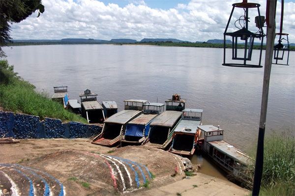
Babaçulândia is a municipality in the state of Tocantins, Brazil.
Contents
Map of Baba%C3%A7ul%C3%A2ndia - State of Tocantins, Brazil
Babaçulândia was founded on 1 January 1954. It has an area of 1,788.461 square kilometres (690.529 sq mi). The most recent population figure as of 2016 was 10,424 people. The municipality includes the buffer zone of the Tocantins Fossil Trees Natural Monument.
References
Babaçulândia Wikipedia(Text) CC BY-SA