
Highest elevation (Sedelberg) 942 m (3,091 ft) Postal code 9606 / 9608 Area 21.81 km² Sfos number 3395 | Lowest elevation (Thur River) 555 m (1,821 ft) Elevation 610 m District Toggenburg | |
 | ||
Surrounded by | ||
Bütschwil-Ganterschwil is a municipality in the Wahlkreis (constituency) of Toggenburg in the canton of St. Gallen in Switzerland. On 1 January 2013 the former municipalities of Bütschwil and Ganterschwil merged to form the new municipality of Bütschwil-Ganterschwil.
Contents
- Map of 9606 BC3BCtschwil Ganterschwil Switzerland
- History
- Geography
- Demographics
- Historic Population
- Sights
- References
Map of 9606 B%C3%BCtschwil-Ganterschwil, Switzerland
History
Bütschwil is first mentioned in 779 as Bucinesvilare.
Ganterschwil is first mentioned in 779 as Cantrichesuilare.
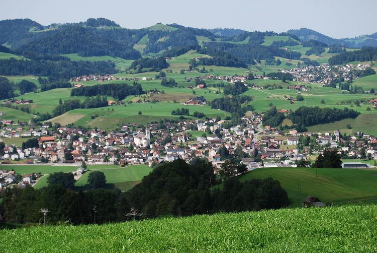
Geography
The former municipalities that now make up Bütschwil-Ganterschwil have a total combined area of 21.81 km2 (8.42 sq mi).
Bütschwil had an area, as of 2006, of 13.7 km2 (5.3 sq mi). Of this area, 66.3% is used for agricultural purposes, while 19.8% is forested. Of the rest of the land, 12.4% is settled (buildings or roads) and the remainder (1.5%) is non-productive (rivers or lakes). The former municipality is located along the Thur river. On the left bank of the Thur, it consists of the linear villages of Bütschwil and Dietfurt and the hamlets of Grämigen, Tierhag, Feld, Kengelbach and Zwiselen. While on the right bank are the hamlets of Langensteig and Laufen.
Ganterschwil had an area, as of 2006, of 8.1 km2 (3.1 sq mi). Of this area, 63.8% is used for agricultural purposes, while 26.2% is forested. Of the rest of the land, 7% is settled (buildings or roads) and the remainder (3%) is non-productive (rivers or lakes). The former municipality is located on a high plateau between the Thur and Neckar rivers. It consists of the village of Ganterschwil and the hamlets of Äwil, Anzenwil, Bleiken, Ötschwil and Tobel as well as scattered individual farm houses.
Demographics
The total population of Bütschwil-Ganterschwil (as of December 2015) is 4,734.
Historic Population
The historical population is given in the following chart:
Sights
The village of Bütschwil is designated as part of the Inventory of Swiss Heritage Sites.