
- left Bâsculița, Bâsca Mică - elevation 1,500 m (4,921 ft) - average 11.7 m/s (413 cu ft/s) Discharge 11.7 m³/s Source Bâsca Chiojdului River | - elevation 385 m (1,263 ft) Length 81 km Basin area 785.1 km² | |
 | ||
- location Upstream of Lunca Priporului | ||
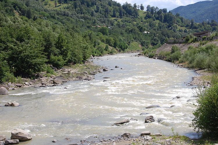
The Bâsca (Romanian: Bɨs'ca), also called Bâsca Mare in its upper course, and Bâsca Roziliei in its lower course, is a left tributary of the river Buzău, in Romania. It discharges into the Buzău near Nehoiu.
Contents
- Map of BC3A2sca Romania
- Geographic position
- Geology
- Climate
- Hydrography
- Hydrology
- Demographic and socio economic features
- Maps
- References
Map of B%C3%A2sca, Romania
Geographic position
Positioned in the external region of the curvature of Carpathians (subunit of Eastern Carpathians), the Bâsca River Catchment has a surface of 785.1 km² (data obtained using the Topographic Maps of Romania at scale 1:25,000). It lies at an average altitude of 1,081 m between the Lăcăuți Peak (1,777 m altitude) and the confluence with the Buzău River (385 m altitude).
Geology
From the geological point of view, the Bâsca River Catchment overlaps the orogenic unit of the Eastern Carpathians, where the external Paleogene flysch is predominant, including: sandstones (Tarcău sandstones Facies), marl, conglomerates. This area is characterised by tectonic uplift and by severe seismicity related to the Vrancea Epicentral Area, being affected by deep-seated landslides (Ielenicz, 1984). Lithology is dominated by the presence of the hardest and hard rocks, covering 96.7% of the catchment surface.
Climate
The climate of the Bâsca Catchment is temperate-continental. Föhn phenomena moderate the characteristics parameters of climatic elements, e.g. average multiannual atmospheric temperature between 1.2 °C at the Lăcăuți meteorological station between 1961 and 2000, see Table, and 2.4 °C at the Penteleu station (1988–2007), combined with precipitations of 664.3 mm at Penteleu and 830.1 mm at Lăcăuți.
Hydrography
The following rivers are tributaries to the river Bâsca:
– left: Țiganu, Cuțan (Holom), Ghiurca Mare, Slobod, Patacu, Bâsculița, Cernat, Milea, Bâsca Mică (with Giurgiu, Fagul Alb, Ciulianoș, Bălescuțu, Șapte Izvoare, Secuiul, Brebu and Boul), Varlaam, Tigva, Fulgeriș, Tainiță, Gotiș, Hânsaru, Valea Largă, Aniniș;– right: Râșdaș, Reghin, Toplița, Șaroș, Dârnăul Mic, Dârnăul Mare, Cireș, Ioviz, Surducul Mare, Cocean, Piciorul Milei, Bratu, Tega, Păltiniș, Vinețișu.On the Bâsca River the project "Hydropower Siriu – Surduc Development”, has been developed (being now in construction stage). This project includes a permanent water reservoir "Cireșu" on the upper part of the Bâsca River and an underground derivation "Surduc – Nehoiașu", from Cireșu Accumulation and Bâsca River towards the "CHE Nehoiașu II” hydroelectric power station.
Hydrology
The most common risk hydric phenomena affecting the catchment area are floods and flooding. Associated to these are processes of river channel dynamics, landslides and falls. The frequency analysis of the maximum monthly discharge indicates that the month with the highest flood potential is July, followed by June. In July were recorded the highest floods. Among them, remarkable for their socio-economic consequences where those from 1969, 1975, 2002. The annual maximum flow of the Bâsca River varied between 39.4 m³/s (year 1986) and 960 m³/s (year 1975, 2 Jul). Exceptionally floods were recorded in the years: 1975 (960 m³/s), 1969 (697 m³/s), 1991 (530 m³/s) and 1985 (515 m³/s). Multiannual average flow at this station is about 12 m³/s. Damaging effects caused by floods and flooding have determined property damage, such as flooded homes (e.g. on 20 July 2002, Păltiniș River inundated homes in the area of the confluence with the Bâsca River), landslides and slope destabilization of versants; destruction of undermining and hydrotechnical works, affecting sections of the roads and humans casualties.