
Time zone CET (UTC+1) Area 80.09 km² Population 14,240 (2004) | Postal code 3070 Local time Thursday 4:45 PM Area code 32 | |
 | ||
Weather 9°C, Wind SW at 11 km/h, 66% Humidity | ||
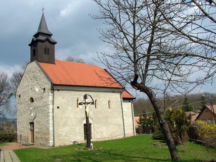
Bátonyterenye is a town in Nógrád county, in Northern Hungary.
Contents
Map of B%C3%A1tonyterenye, Hungary
Bátonyterenye was created in 1984 by the unification of three villages (Nagybátony, Kisterenye, Szúpatak). The new settlement became a city in 1989. Bátonyterenye was a typical socialist mining city.
Twin towns – Sister cities
Bátonyterenye is twinned with:
References
Bátonyterenye Wikipedia(Text) CC BY-SA