
Palestine grid 152/169 | ||
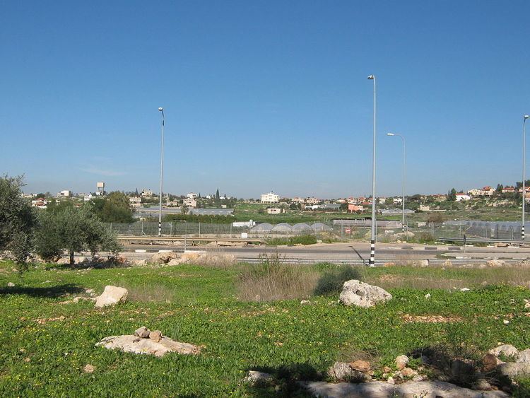 | ||
Name meaning "The wild olive of Ibn 'Atmeh" Weather 15°C, Wind NW at 8 km/h, 65% Humidity | ||
Azzun atma state of palestine and the apartheid wall
'Azzun 'Atma (Arabic: عزون عتمة) is a Palestinian village in the Qalqilya Governorate in the western West Bank, located 5 kilometers South-east of Qalqilya. According to the Palestinian Central Bureau of Statistics, 'Azzun 'Atma had a population of approximately 1,670 inhabitants in mid-year 2006. 3.9% of the population of 'Azzun 'Atma were refugees in 1997. The healthcare facilities for 'Azzun 'Atma are designated as MOH level 2.
Contents
Map of Azun Atme
History
Potsherds from the Iron Age II, Persian, Hellenistic, Byzantine, Byzantine/Umayyad, Crusader/Ayyubid and Mamluk eras have been found. Old stones have been reused in homes, and the mosque is possibly an old church.
Ottoman era
The place appeared in 1596 Ottoman tax registers as 'Azzun, being in the Nahiya of Jabal Qubal of the Liwa of Nablus. It had a population of 29 households and 2 bachelors, all Muslim. The villagers paid taxes on wheat, barley, summercrops, olives, goats and beehives.
When the French explorer Victor Guérin visited the place in 1870 it was described it as a large Arab village, then deserted. Many small, square houses were still partly standing, and near the mosque he noticed old columns and large stone from older buildings. Old fig trees and beautiful mimosa were scattered through the ruins. In the Palestine Exploration Fund's Survey of Western Palestine (1882), it is also described as a "ruined village".