Population 23,336 (2001) | Time zone IST (UTC+5:30) ISO 3166 code ISO 3166-2:IN | |
 | ||
Neighborhoods Mother Teresa Nagar, Rajeev Colony, Thazhe | ||
Ayyankunnu is a village in Kannur district in the Indian state of Kerala.The name ayyankunnu came from the five hills "Anchu Kunnu".
Contents
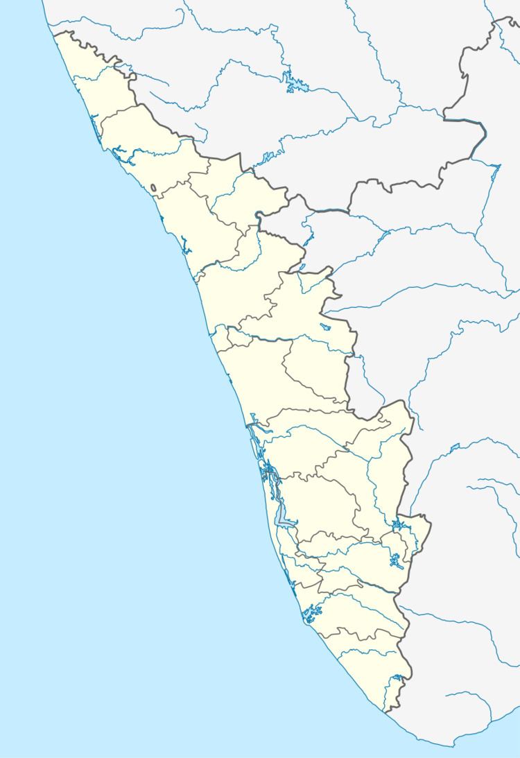
Map of Ayyankunnu, Kerala
Demographics
As of 2001 India census, Ayyankunnu had a population of 23336 with 11754 males and 11582 females.
Geography
Ayyankunnu is a hilly village on the eastern side of Kannur district. The terrain is undulating in nature and the extreme eastern side has forests bordering Karnataka state.
Transportation
The national highway passes through Kannur town. Mangalore and Mumbai can be accessed on the northern side and Cochin and Thiruvananthapuram can be accessed on the southern side. The road to the east of Iritty connects to Mysore and Bangalore. The nearest railway station is Kannur on Mangalore-Palakkad line. There are airports at Mangalore and Calicut.
