
Notified 11 November 1992 Time zone PKT (UTC+5) Area 21,630 km² | Number of Tehsils 3 | |
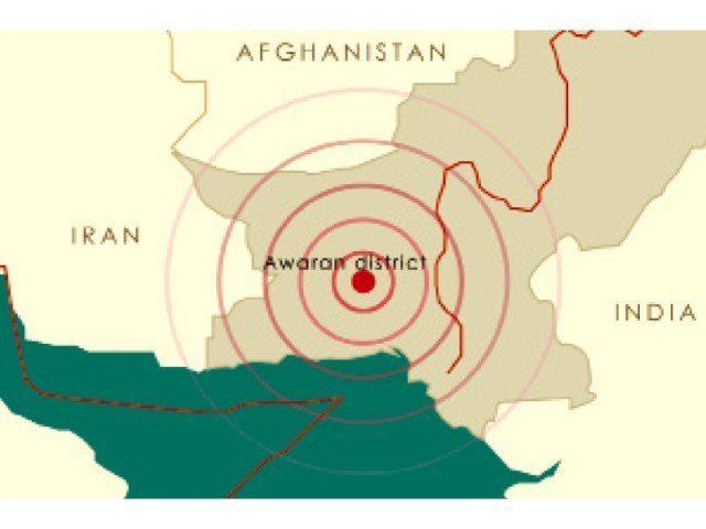 | ||
Awaran District (Urdu: ضِلع آواران), is a district in the south of the Balochistan province of Pakistan. It was created as a separate district on 11 November 1992; but previously it was a sub-division of Khuzdar District. The old name of Awaran was Kolwa. It is considered the poorest district in the province.
Contents
Map of Awaran, Pakistan
It is located in the south of the Balochistan province, Awaran district is bordered by Gwadar to its south and south west, Lasbela to its east and south, Kech and Panjgur to its west, Khuzdar to its north east and Kharan to its north.
Population
Administrative divisions
The district is administratively subdivided into the following three tehsils, which are sub-divided into eight union councils:
Demographics
Over 98% of the people of the area are Muslims with a small Zikri minority. They belong to Sajdi, Bezinjo, Sanghur, Muhammad Hasni and Gichki tribes.
Agriculture
Awaran is known as oasis of dates. Annual production of dates is approx 15,000 ton. Mashaki is famous for Dates production, however due to non-existence of storage facility in district dates don't reach to the big markets in country. Beside Dates, Onion is grown on large scale, estimated annual production is 53,000 tons. Wheat and [barley]] is the other major Rabi crop. Kharif crops are fruits and pulses.