
Established 1 July 1977 Time zone PST (UTC+5) Area 12,637 km² | Number of Tehsils 4 | |
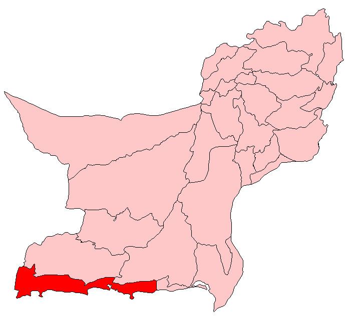 | ||
Gwadar District (Balochi: ضِلع گوادر), is a District in the Balochistan Province of Pakistan. The name Gwadar originates from Gwat and Dar (Balochi: گوات ء در)، which means the door of air. Gwadar was notified as a separate district on 1 July 1977. The City of Gwadar is the district headquarter of Gwadar District.
Contents
Map of Gwadar, Pakistan
Administration
Gwadar District is subdivided into four Tehsils or sub—districts:
Geography and natural history
Gwadar District has a 600 kilometres (370 mi) long coastline along the Gulf of Oman of the Arabian Sea. The district located in the coastal region on the Arabian Sea, south-west of the Quetta City, the provincial capital of Balochistan, District Lasbela is in the east and Kech and Awaran Districts are in the north and sharing its boundaries in the west with Iran It has a scenic coastal highway that originates from district Lasbela and passes through the Gwadar district. The district has a 620 km coastline along Arabian Sea. The most significant feature of the Gwadar District is Gwadar Port, a deep sea warm water port. It is located on the eastern bay of a natural hammer-head protrusion of land, from the coast, distended into the apex of Arabian Sea.
Demography
According to the 1998 census, the population of Gwadar District was 185,498 people. It is 12,637 km² in area, with a population density of 14.7 people/km².