
 | ||
Similar Nordre Isfjorden National, Forlandet National Park, Kronebreen, Nordenskiöld Land National, Sassen–Bünsow Land National | ||
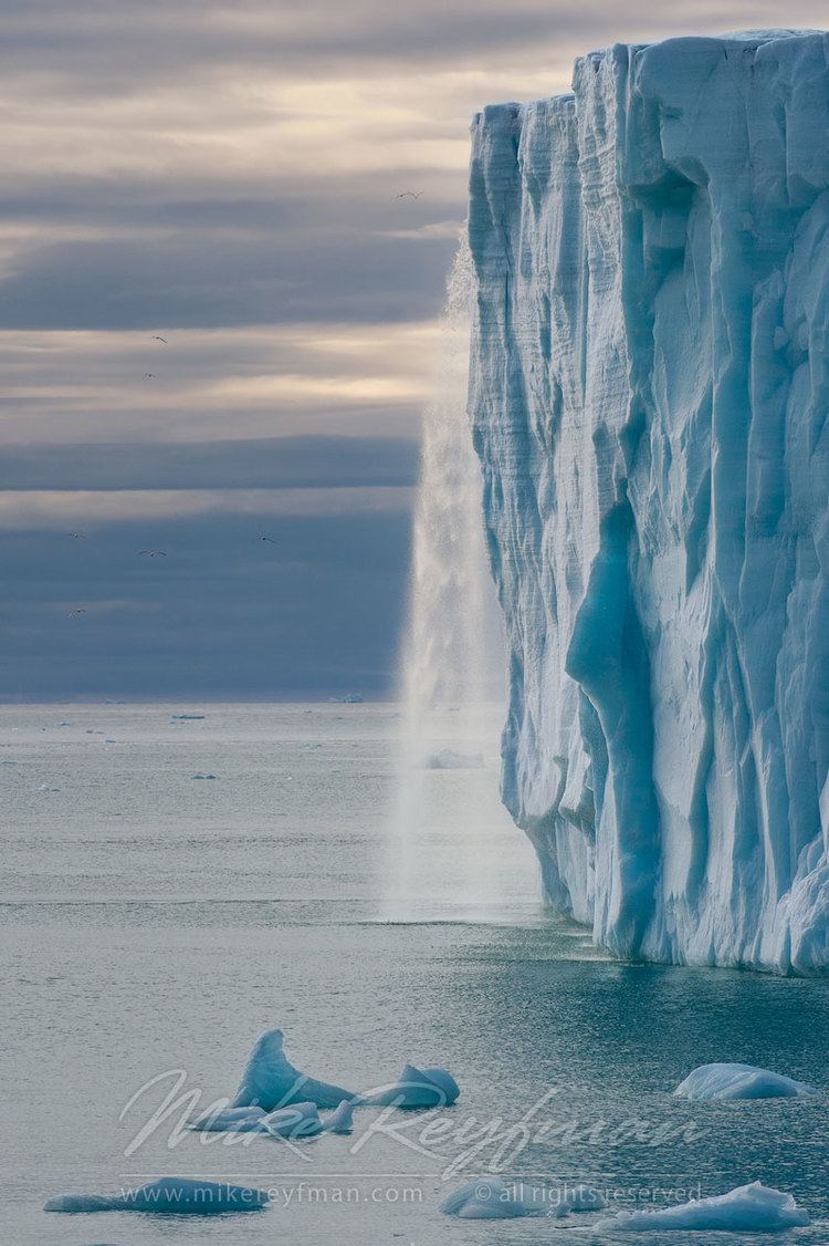
Austfonna is an ice cap located on Nordaustlandet in the Svalbard archipelago in Norway. Covering an area of 8,492 km2 it is the largest ice cap by area and with 1,900 km3 (excluding Vegafonna) the second largest by volume in Europe, after the Vatnajökull in Iceland (not counting the still larger Severny Island ice cap of Novaya Zemlya, Russia, which is located in the extreme northeast of Europe), and the seventh largest in the world.
Map of Austfonna, Jan Mayen Island
Austfonna has a thickness of up to 560 metres (235 meters average thickness), and is 200 km in circumference. The ice dome reaches an elevation of 783 meters above sea level.
The southern third of Austfonna is sometimes called Sørfonna, which is a separate ice cap, separated from the main part of Austfonna by a long, ice-filled depression, and forming a separate crestal dome.(paper of 1956)
Vegafonna in the southwest is also connected to Austfonna proper, specifically to (Sørfonna), and is separated from it by Erica Valley. Vegafonna also forms a separate dome. Immediately west of Vegafonna is Glittne ice cap, which is considered part of the former.
Vestfonna in the northwest of the island is a totally separate ice cap (the third largest of Svalbard and Norway).