
Local time Thursday 6:04 PM | Time zone Nepal Time (UTC+5:45) Population 8,836 (2001) | |
 | ||
Weather 28°C, Wind W at 8 km/h, 41% Humidity | ||
Auraiya is a village development committee in Rautahat District in the Narayani Zone of south-eastern Nepal. Auraiya is 6 KM west from the District headquarters Gaur. The village takes its name from "AMLA" which means "Indian gooseberry". At the time of the 2014 Nepal census it had a population of 10,832(Male-5,630 Female-5,202,93.17% Hindu, 6.83% Muslim) people living in more than 1648 individual households. The literacy rate is 77% which is higher than average villages of Nepal. Most of the people of the village are employed in the "Government Services" of Nepal like Engineering, Forestry, Medicine, Education & so many.
Contents
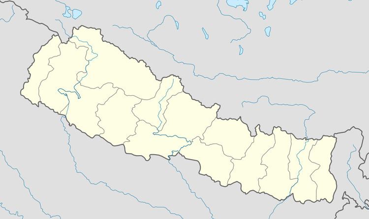
Map of Auraiya, Nepal
Border
Its borders Bihar in south with two villages Hirapur and Chainpur.
References
Auraiya, Nepal Wikipedia(Text) CC BY-SA