
TE Kativik Time zone EST (UTC−5) Area 32.6 km² Local time Thursday 7:07 AM Area code 819 | Constituted February 2, 1980 Postal code(s) J0M 1X0 Population 195 (2011) Province Québec Number of airports 1 | |
 | ||
Weather -32°C, Wind NW at 8 km/h, 69% Humidity | ||
Aupaluk (Inuktitut: ᐊᐅᐸᓗᒃ) (2011 Population: 195) is a northern village in Nunavik, in the Nord-du-Québec region of Quebec. It is the least-populous Inuit community in Nunavik.
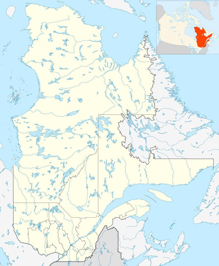
Map of Aupaluk, QC, Canada
The name means "where the earth is red", referring to its iron-bearing (ferruginous) soil.
Its population has been increasing: it was 174 in 2006 and 159 in 2001.
Aupaluk is located on the western shore of Ungava Bay, north of Tasiujaq and 80 km south of Kangirsuk. It is about 150 km northwest of Kuujjuaq.
It is served by nearby Aupaluk Airport.
The only school in Aupaluk, Tarsakallak School, was destroyed in a fire on March 15, 2014. The school served a total of 54 students.
References
Aupaluk Wikipedia(Text) CC BY-SA