
Population 8,342 (2001 Census) Civil parish Aughton Local time Wednesday 7:21 PM Dialling code 01695 | OS grid reference SD395055 Sovereign state United Kingdom | |
 | ||
Weather 6°C, Wind SW at 11 km/h, 77% Humidity Neighborhoods Holt Green, Bowker's Green, Town Green | ||
Aughton is a village and civil parish in the West Lancashire district of Lancashire, England, between Ormskirk and Maghull. It is a residential area with tree lined roads being found in all parts of the parish and an area of 1,658 hectares. The northern part is known as Aughton village, the south-west as Holt Green and the south-east as Town Green.
Contents
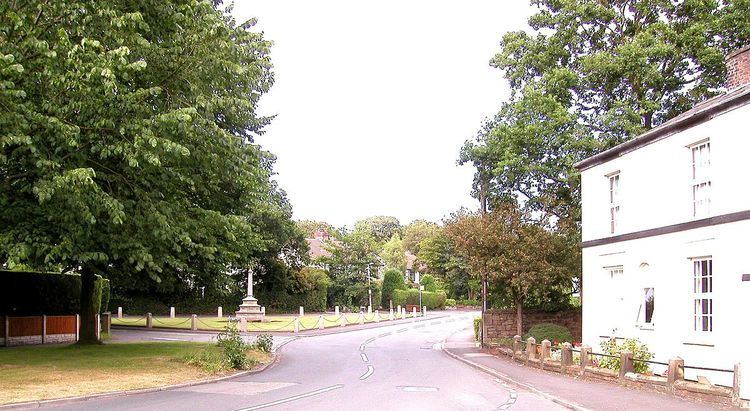
Map of Aughton, UK
Demographics and politics
At the 2001 Census, Aughton had a population of 8,342, reducing to 8,068 at the 2011 Census. The parish includes Aughton village itself, and part of the Aughton Park estate, which is a southern suburb of Ormskirk, along with Town Green in the south-east and Holt Green in the south-west.
Aughton has its own parish council, is part of the Aughton and Downholland electoral ward for West Lancashire District Council elections and the West Lancashire constituency for the House of Commons elections.
Communications
Aughton is bounded on the west by the A59 Liverpool to Preston road and bisected to the east by the B5197 Ormskirk to Kirkby road that runs north-south through the village.
The parish has two railway stations, Town Green and Aughton Park, both on the Northern Line of the Merseyrail network, and part of the former Liverpool, Ormskirk and Preston Railway.
Facilities
Aughton has two shopping areas; on Moss Delph Lane and Town Green Lane. Also, there are playing fields and a park next to the fields and other open spaces totalling 36 acres (150,000 m2). There is a community centre, the Aughton Village Hall. The hall was opened in 1971 on land donated to the District Council. It is a registered charity and managed by a voluntary committee.
Having moved from premises in Holt Green, the official opening of the new Aughton police station on 3 March 2003 saw it occupy the old waiting room and general outbuildings of Town Green railway station. At that time, this police station was the first in the Lancashire Constabulary to have the enquiry counter staffed exclusively by volunteers.
There are two notable churches, Christ Church, a late Victorian building situated at one of the higher points in West Lancashire, and St Michael's Parish Church. St Michael's has been designated by English Heritage as a Grade I listed building. Moor Hall, on Prescot Road, is a Grade II* listed manor house built around 1600.