
Population 11,419 (2011) Dialling code 0161 | OS grid reference SJ925975 Sovereign state United Kingdom Local time Wednesday 10:36 AM | |
 | ||
Weather 5°C, Wind S at 8 km/h, 86% Humidity | ||
Audenshaw is a town in Tameside, Greater Manchester, England, on the River Tame 1.8 miles (2.9 km) south-west of Ashton-under-Lyne and 4.9 miles (7.9 km) east of Manchester. Historically part of Lancashire, in 2001, Audenshaw had a population of 13,000. By the 2011 Census the population had decreased to 11,419.
Contents
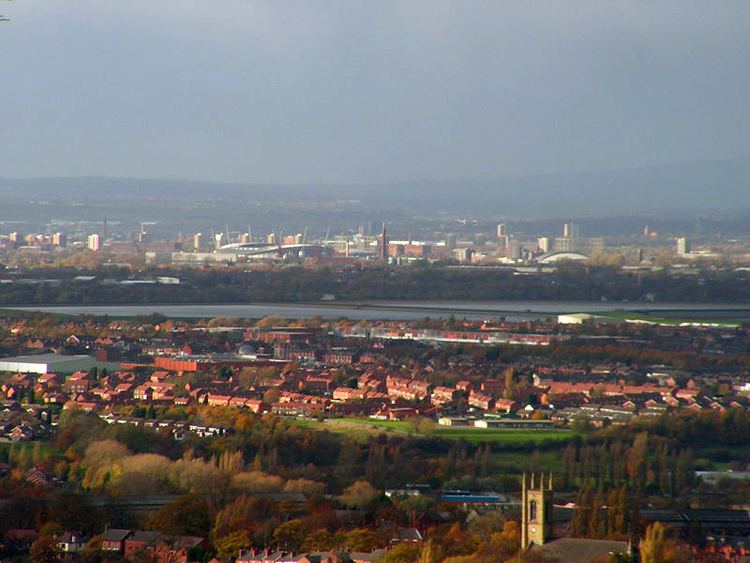
Map of Audenshaw, UK
The name Audenshaw derives from Aldwin, a Saxon personal name, and the Old English suffix shagh meaning woodland. Nico Ditch, an early-medieval linear earthwork possibly built as a defensive barrier against Vikings, runs through the area. During the Middle Ages, Audenshaw was a division of the township of Ashton, in the county of Lancashire. Audenshaw's urbanisation and expansion largely coincided with developments in textile manufacture during the Industrial Revolution and the Victorian era. In the 1870s, many of Audenshaw's inhabitants were employed in hat-making, cotton-spinning, calico-printing, and silk-weaving. In 1894, the area became Audenshaw Urban District in the poor law union of Ashton-under-Lyne. In 1974, it became part of the Metropolitan Borough of Tameside.
History
The name Audenshaw is a corruption of its earlier name Aldwinshagh which derives from Aldwin, a Saxon personal name, combined with the Old English suffix shagh meaning woodland.
Nico Ditch, a medieval linear earthwork, runs through the area. Stretching 6 miles (9.7 km) from Ashton Moss in the east to just east of Stretford in the west, the origin of the ditch is unclear. According to legend, it was completed in a single night by the inhabitants of Manchester, as a protection against Viking invaders in 869–870, and that it was the site of a bloody battle between Saxons and Danes and that Gorton and Reddish got their name from the battle, "Gore Town" and"Red-Ditch". Despite the legend, the U-shape of the ditch – as opposed to the usual V-shape of military earthworks – and the absence of an associated bank indicates that Nico Ditch was probably a boundary marker. Although it is thought to be earlier, the earliest documented reference to Nico Ditch is in a charter detailing the granting of land in Audenshaw to the monks of the Kersal Cell. In the document, dating from 1190 to 1212, the ditch is referred to as "Mykelldiche", and a magnum fossatum, Latin for "large ditch".
In 1877, part of the original village of Audenshaw was demolished to make way for the three Audenshaw Reservoirs. Also destroyed to allow the construction of the reservoirs was a section of Nico Ditch.
Governance
During the Early Middle Ages Audenshaw is supposed to have been a thanage held by Saxons, but following the Norman conquest of England fell within the historic county boundaries of Lancashire, and noted as a division of Ashton, an ancient township and parish within the hundred of Salford. The division of Audenshaw spanned the village of Audenshaw, and the outlying settlements of Danehead, Hooleyhill, Littlemoss, North-street, Walkmill, Waterhouses and Woodhouses. This arrangement persisted until the creation of Audenshaw's first local authority, a local board of health in 1870. Audenshaw Local Board of Health was a regulatory body responsible for standards of hygiene and sanitation in the locality. Under the Local Government Act 1894, the area of the local board became the Audenshaw Urban District, a local government district in the Ashton-under-Lyne Poor Law Union and administrative county of Lancashire. Under the Local Government Act 1972, the Audenshaw Urban District was abolished, and Audenshaw has, since 1 April 1974, formed an unparished area of the Metropolitan Borough of Tameside, within the Metropolitan county of Greater Manchester.
Audenshaw is represented in Parliament by the Denton and Reddish constituency. Since its creation in 1983, the constituency has been held by the Labour Party, and the current Member of Parliament is Andrew Gwynne who gained 57.4% of the vote at the United Kingdom general election, 2005.
Geography
At 53°28′27.5″N 2°6′44″W (53.4743°, −2.1122°), 160 miles (257 km) north-northwest of central London and 5 miles (8 km) east of Manchester, Audenshaw stands at the head of the Dane valley. Guide Bridge is an area of Audenshaw.
Demography
According to the Office for National Statistics, at the time of the United Kingdom Census 2001, Audenshaw had a population of 12,790. The 2001 population density was 10,860 inhabitants per square mile (4,193/km2), with a 100 to 93.2 female-to-male ratio. Of those over 16 years old, 28.4% were single (never married), 43.3% married, and 8.8% divorced. Audenshaw's 5,260 households included 29.0% one-person, 38.5% married couples living together, 8.8% were co-habiting couples, and 11.4% single parents with their children. Of those aged 16–74, 33.4% had no academic qualifications, similar to the Tameside average (35.2%), but above that of England (28.9%).
In 1951 the breakdown of social class in Audenshaw was recorded as 22.7% middle class and 19.3% working class. By 1971, this had changed to 23.4 middle class and 17.2% working class. The rest of the population was made up of clerical workers and skilled manual workers.
At the 2001 UK census, 80.28% of Audenshaw's residents reported themselves as being Christian, 1.1% Muslim, 0.6% Hindu, 0.3% Buddhist, and 0.1% Sikh. The census recorded 11.0% as having no religion, 0.2% had an alternative religion and 6.7% did not state their religion.
Economy
Prior to the Industrial Revolution, the main occupation in Audenshaw was that of farming. The earliest recorded agriculture in the Tameside area was in Audenshaw in the period 1190–1212. As was the case in neighbouring Denton, in the 19th century most of Audenshaw's residents were occupied in the hatting industry, the manufacture of cotton and silk, and calico printing.
According to the 2001 UK census, the industry of employment Audenshaw's residents aged 16–74 was 20.3% manufacturing, 18.7% retail and wholesale, 10.1% property and business services, 9.0% health and social work, 8.2% construction, 6.8% transport and communications, 6.3% education, 6.2% public administration, 5.2% finance, 3.8% hotels and restaurants, 0.9% energy and water supply, 0.4% agriculture, 0.1% mining, and 4.0% other. Compared with national figures, the town had a relatively high percentage of residents working in manufacturing (14.8% in England).
The census recorded the economic activity of residents aged 16–74, 2.2% students were with jobs, 3.0% students without jobs, 4.7% looking after home or family, 6.5% permanently sick or disabled, and 2.7% economically inactive for other reasons.
Landmarks
There are nine Grade II listed buildings in Audenshaw, although no Grade I or II*. These include two lodges which were originally a single barn, a trough and pillar, and St Stephen's Church. The church was constructed in 1846, at a cost of £2,900 (equivalent to £250,000 in 2017) and provided space for a congregation of 750. Ryecroft Hall, a Grade II listed building, was donated to the people of Audenshaw by the local Member of Parliament, Austin Hopkinson, in 1921.
The war memorial at the entrance to Audenshaw Cemetery is also a Grade II listed building and commemorates the 140 men from Audenshaw who lost their lives in World War I. Standing 15 feet (4.6 m), it features a bronze statue of a soldier standing on top of a square column. There are slabs of black granite on the fours sides of the column with the names of the deceased. Unveiled in 1920 before a 10,000 strong crowd, it cost £1,300 (£50,000 in 2017).
Education
There are two nursery schools, five primary schools, and one secondary school in Audenshaw. Opened in 1932 as Audenshaw Grammar School for Boys, Audenshaw School is now the only secondary school in the town. In 2008, the school was the most successful in the borough in terms of proportion of pupils attaining five or more A*–C grades at General Certificate of Secondary Education (GCSE) including maths and English (64% in Audenshaw School compared with the average of 41.8% for Tameside and 47.6% for England) and most points per pupil at A-level. It is a specialist technology college. Until 1964, secondary education was also provided by Poplar Street School which was built in 1914, although its primary school still exists.
Sport
The Audenshaw Greyhound Racing and Sports Ground existed from the turn of the 20th century, initially as an athletic and coursing ground and then as a trotting track, speedway dirt track and greyhound racing track until 1934. This is not to be confused with the Athletics stadium that existed on the south side of the Manchester Road.