
 | ||
22 auburn bay gardens se auburn bay calgary t3m 0k3
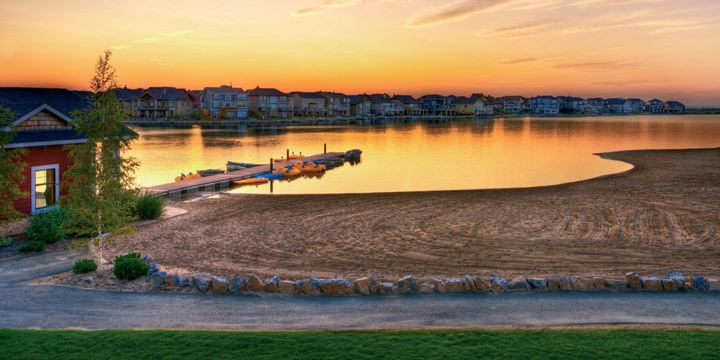
Auburn Bay is a new suburban residential neighbourhood in the south-east quadrant of Calgary, Alberta. It is located at the south-eastern edge of the city, and is bounded by Seton Boulevard to the south, Deerfoot Trail to the west, 52 Street E to the east and Stoney Trail to the north.
Contents
- 22 auburn bay gardens se auburn bay calgary t3m 0k3
- Map of Auburn Bay Calgary AB Canada
- Demographics
- References
Map of Auburn Bay, Calgary, AB, Canada
The South Health Campus and southeast Calgary hospital is located immediately to the south of the community. A proposed southeastern extension of the city's C-Train system is planned to run along the community's eastern boundary, parallel to 52nd Street.
It is represented in the Calgary City Council by the Ward 12 councillor.
Demographics
In the City of Calgary's 2012 municipal census, Auburn Bay had a population of 7003719300000000000♠7,193 living in 7003280800000000000♠2,808 dwellings, a 24.7% increase from its 2011 population of 7003576900000000000♠5,769. With a land area of 4.5 km2 (1.7 sq mi), it had a population density of 1,598/km2 (4,140/sq mi) in 2012.