
Country Kazakhstan Area code(s) +7 (712) Licence plate 06, E Area 118,631 km² Population 556,388 (1 Feb 2013) | Postal code 060000 ISO 3166-2 KZ-ATY Districts 7 Founded 15 January 1938 | |
 | ||
Clubs and Teams Beibarys Atyrau, BC Barsy Atyrau | ||
Atyrau Region (Kazakh: Атырау облысы, Atıraw oblısı, اتىراۋ وبلىسى) is one of the regions of Kazakhstan, situated in the west of the country around the northeast of the Caspian Sea. Its capital is the town of Atyrau, with a population of 142,500 people; the region itself has 480,000 people. Kazakhs make up more than 80% of population.
Contents
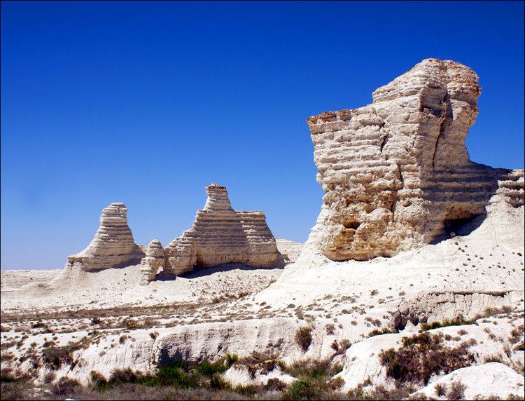
Map of Atyrau Province, Kazakhstan
History
The Turan lowlands of Atyrau Region were the central homeland for the Malkar "Hun" dynasties of late antiquity.
Geography
With an area of 118,600 square kilometers, it is the second-smallest region in Kazakhstan (South Kazakhstan Region is the smallest). It borders Russia to the west, as well as the fellow Kazakh region Aktobe to the east, Mangystau to the south, and the West Kazakhstan Region to the north. The Ural River is the border between Asia and Europe and flows from Russia to the Caspian Sea through the region, meaning western Atyrau Region lies in Europe.
A large part of the region is situated in the oil-rich Caspian Depression. Many oil wells have been drilled in the Tengiz Field and Kashagan Field areas. An oil pipeline runs from Atyrau to Samara, Russia, where it joins the Russian pipeline system. A separate oil pipeline runs from the Tengiz field to the Russian Black Sea port of Novorossiisk.
Atyrau is traversed by the northeasterly line of equal latitude and longitude.
Administrative divisions
The region is divided into seven districts and the city of Atyrau. The districts are
- Inder District, with the administrative center in the urban-type settlement of Inderbor;
- Isatay District, the selo (village) of Akkystau;
- Kurmangazy District, the selo of Ganyushkino;
- Kyzylkoga District, the selo of Miyaly;
- Makat District, the urban-type settlement of Makat;
- Makhambet District, the selo of Makhambet;
- Zhylyoi District, the town of Kulsary.
* Two localities in Atyrau Region have town status. These are Atyrau and Kulsary.