
Elevation 1,080 m | ||
 | ||
Location
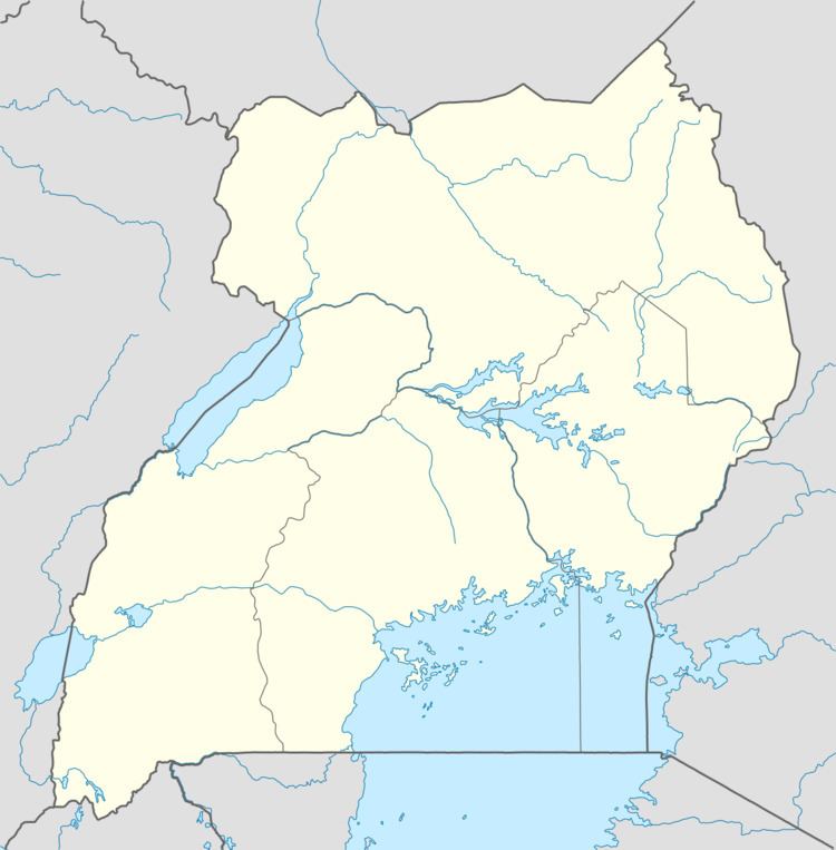
The town lies on the Tirinyi–Pallisa–Kamonkoli–Kumi Road, in Atutur Parish, Atutur sub-county, Kumi District, approximately 22 kilometres (14 mi) southeast of Kumi Town, where the district headquarters are located. Atutur is located 48 kilometres (30 mi) northwest of Mbale, the nearest large city. The coordinates of Atutur Town are: 01°19'25.0"N, 33°53'18.0"E (Latitude:1.323605; Longitude:33.888341).
Overview
Atutur General Hospital sits in Atutur sub-county, on the Tororo–Mbale–Soroti Road, about 17 kilometres (11 mi) northeast of Atutur Town.
References
Atutur Town Wikipedia(Text) CC BY-SA