Time zone IST (UTC+5:30) Elevation 11 m Local time Wednesday 12:45 PM | Talukas Attili PIN 534134 Population 68,196 (2011) | |
 | ||
Weather 35°C, Wind SE at 8 km/h, 28% Humidity | ||
Attili is a Mandal in West Godavari district of the Indian state of Andhra Pradesh. It belongs to Tanuku constituency in Kovvur revenue division.
Contents
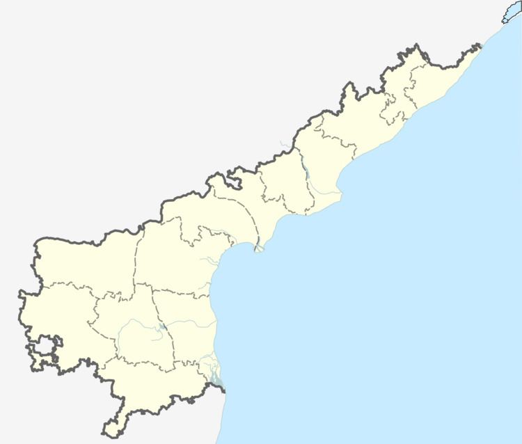
Map of Attili, Andhra Pradesh 534134
Geography
This town is well connected to the major business hubs like Tadepalligudem, Tanuku and Bhimavaram through rail and bus routes. It is famous for Lord Subrahmanyeswara Swamy temple which they celebrate sashti every year. During the Panchayat works, they found the goddess "Sri Sri Sri Vijaya Chamundeswari Devi" Statue in subhramanyeswara swamy Water Pond on 29 June 2015, while Panchayat people were digging to increase the storage capacity of Water Pond. Under the supervision of Panchayat heads, construction of the temple for the goddess has been started.
Villages in Attili Mandal: Aravalli, Ballipadu, Eduru, Gummampadu, Kanchumarru, Kommara, Manchili, Pali,Paluru, Skinnerapuram, Tirupatipuram,Unikili,Varighedu. It is full of paddy fields, aquaculture and ponds decorating the wellness of the coastal part of the belt.
The town was named after great "Athri" maha muni.
Demographics
According to Indian census, 2001, the demographic details of Attili mandal is as follows:
