
District Bangalore Time zone IST (UTC+5:30) Local time Wednesday 12:22 PM | Metro Bengaluru PIN 562107 | |
 | ||
Weather 29°C, Wind NE at 3 km/h, 17% Humidity | ||
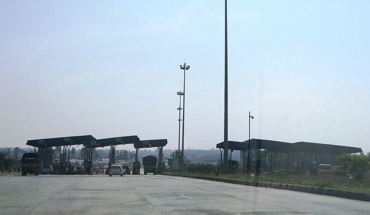
'Attibele (Kannada:ಅತ್ತಿಬೆಲೆ) is municipal town in Anekal taluk, Bangalore Urban district in the Indian state of Karnataka, India. The Karnataka-Tamil Nadu checkpost border is situated here, which is marked by an arch. It is 32 km from Bangalore and 8 km from Hosur and Anekal on NH 7. Kannada is the local language spoken here & also has some Telugu & Tamil migrant population. It also has an industrial area which has the likes of Schneider electric & many other manufacturer plants.
Contents
Map of Attibele, Karnataka 562107
Transportation
From Kempegowda Bus Station and K.R Market 360 serise buses will travel.
Jain Temple
Shri Parshwa Sushil Dham is a magnificent Jain Temple built on National Highway 7. It is beautifully carved white marble temple. Here the mulnayak or the main God is "Shankeshwar Parshwanath" and a Dadavadi of "Sushil Suriji" marasaheb. Idols of Ghantakarna Mahaveer, Padmavati mata, Nakoda bhairav is also present here. This tirth has got Dharamshala, Bhojanshala, Playground for Children recreation with all modern amenities.