
Time zone GMT (UTC+0) Population 260,911 (2014) | Local time Wednesday 8:01 AM | |
 | ||
Weather 27°C, Wind W at 8 km/h, 91% Humidity Team Ecole de Football Attécoubé | ||
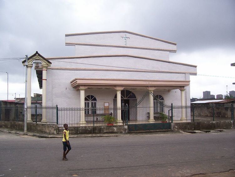
Attécoubé (Ebrié: Abidjan Te) is a suburb of and one of the 10 urban communes of Abidjan, Ivory Coast. It is situated to the northwest of Abidjan's central Plateau commune, overlooking the Baie du Banco. Attécoubé has a total area of 68.2 square kilometres (26.3 sq mi), 40 square kilometres (15 sq mi) of which is covered by forest and 5 square kilometres (1.9 sq mi) by Ébrié Lagoon. The commune forms part of Banco National Park.
Contents
Map of Att%C3%A9coub%C3%A9, Abidjan, The Ivory Coast
The population was 164,751 in 1988, 214,638 in 1998, and 260,911 in 2014. At the beginning of the colonial era, Attécoubé was exploited by the French for its timber. Its mayor, elected in municipal elections in March 2001, is Danho Paulin.
Districts
Attécoubé is separated into almost three dozen districts. These include:
References
Attécoubé Wikipedia(Text) CC BY-SA