
Country India Elevation 81 m Population 19,586 (2011) | Time zone IST (UTC+5:30) Local time Wednesday 10:34 AM | |
 | ||
Weather 26°C, Wind W at 6 km/h, 48% Humidity | ||
Atraulia is a town and a nagar panchayat in Azamgarh district in the state of Uttar Pradesh, India. It is situated on main road from Azamgarh to Lucknow. Bhorajpur Kala,Gangapur, Haiderpur, Bhorajpur Khurd, Chitouni are very closed to this Town.
Seema hospital is a big hospital in this area and recently UP government also approved 200 plus bed hospital, work has completed. It is just near by Atraulia Bus Station.Transport frequency is also very active. Whether night or day, you will get buses from here.
Contents
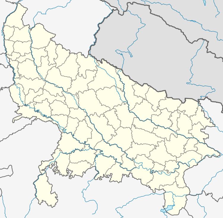
- Map of Atraulia Uttar Pradesh 223223
- Colleges and schools
- Banks
- Temple and historical places
- Hospital
- Geography
- Road
- Demographics
- References
Map of Atraulia, Uttar Pradesh 223223
Govind Saheb Fair is the largest fair in the area. Each year it is organised by the villagers and other commercial organizations (like circus, magician). This fair is one of the top 5 fairs in Uttar Pradesh.
It has about all the modern facilities including Hospitals, Schools, Colleges, Banks, ATMs, and many more.
Colleges and schools
Banks
Temple and historical places
Hospital
Geography
Atraulia is located at 26.33°N 82.95°E / 26.33; 82.95. It has an average elevation of 81 metres (265 feet). Nearest River is Ghagra, also known as Saryu river.
Road
Demographics
According to the 2011 census the total population is 19,586