
District Amuru Elevation 843 m | Sub-region Acholi sub-region County Kilak Local time Wednesday 12:12 AM | |
 | ||
Weather 25°C, Wind E at 2 km/h, 74% Humidity | ||
Atiak is a town in the Northern Region of Uganda on the Gulu-Nimule Road, the primary trade route between Uganda and South Sudan.
Contents
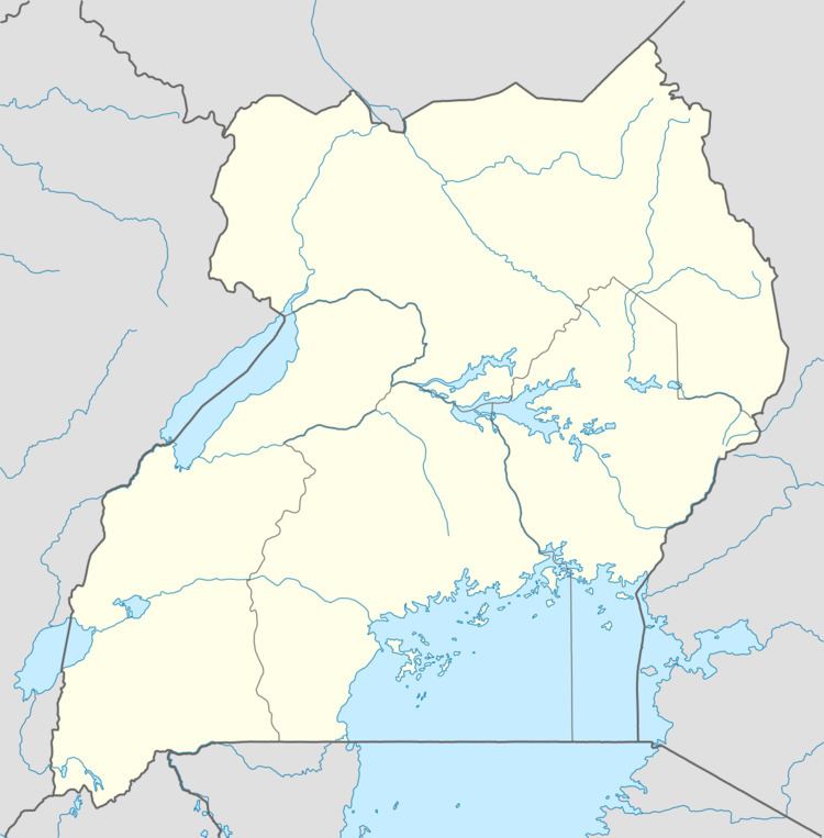
Map of Atiak, Uganda
Location
Atiak is in Kilak County the Amuru District. It is approximately 71 kilometres (44 mi), by road, north of Gulu, the largest city in the Acholi sub-region. Atiak is approximately 35 kilometres (22 mi) south of the South Sudanese town of Nimule at the international border with Uganda. This is approximately 407 kilometres (253 mi), north of Kampala, Uganda's capital and largest city. The coordinates of the town are 3°15'33.0"N, 32°07'23.0"E (Latitude:3.259167; Longitude:32.123056).
History
Atiak was the site of the 20 April 1995 Atiak massacre in which the Lord's Resistance Army executed an estimated 300 civilian men and abducted juveniles.
Points of interest
The following additional points of interest lie within the town or close to its borders: