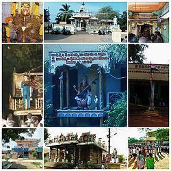
Time zone IST (UTC+5:30) Population 5,628 (2011) | Area 7.11 km² | |
 | ||
Athota is a village in Guntur district of the Indian state of Andhra Pradesh. It is located in Kollipara mandal of Tenali revenue division.
Contents
Map of Athota, Andhra Pradesh 522306
Geography
Athota is located at 16.2910°N 80.6816°E and near to Tenali. It is located in the Coastal Andhra region of the state. Athota is located 25 kilometres (16 mi) east of the district headquarters, Guntur, and 35 kilometres (22 mi) south of Vijayawada by road. It lies on the Eastern coastal plains. It has an average altitude of 15 metres (49 ft).
Climate
The city experiences tropical climate with an average annual temperature of 28.4 °C (83.1 °F). May is the hottest and December is the coolest month of the year. The annual precipitation is about 1,017 millimetres (40 in) and the month of August receives the highest precipitation with 202 millimetres (8 in) of rainfall.
Demographics
As of 2011 census, Athota had a population of 5,628. The total population constitute, 2,793 males and 2,835 females —a sex ratio of 985 females per 1000 males. 511 children are in the age group of 0–6 years, of which 257 are boys and 254 are girls. The average literacy rate stands at 71.45% with 3,656 literates, higher than the state average of 67.41%.
Government
Athota being a part of Kollipara mandal falls under Tenali (Assembly constituency) for Andhra Pradesh Legislative Assembly, which inturn is a part of Guntur (Lok Sabha constituency).
