
Country United States Time zone Pacific (PST) (UTC-8) Elevation 729 m Population 689 (2013) | Incorporated 1909 Area code(s) 208 Zip code 83801 Local time Tuesday 12:42 PM | |
 | ||
Weather 1°C, Wind W at 21 km/h, 56% Humidity | ||
2815 e susan ave athol idaho 83801
Athol is a city in Kootenai County, Idaho, United States. The population was 692 at the 2010 census, up from 676 in 2000. It is part of the Coeur d'Alene Metropolitan Statistical Area, which includes the entire county.
Contents
- 2815 e susan ave athol idaho 83801
- Map of Athol ID 83801 USA
- July afternoon in athol idaho
- History
- Geography
- Demographics
- 2010 census
- References
Map of Athol, ID 83801, USA
Athol is notable for the nearby Silverwood theme park. Several miles east of town is Farragut State Park at the southern end of Lake Pend Oreille. The U.S. Navy's Acoustic Research Detachment in nearby Bayview conducts research with large-scale submarine models in the deepwater lake.
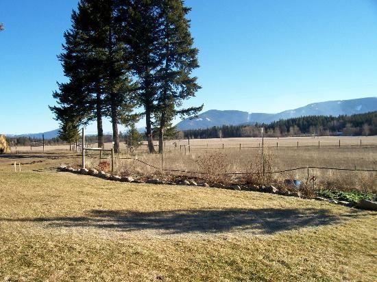
July afternoon in athol idaho
History
A post office called Athol has been in operation since 1895. The city may be named after the Duke of Atholl.
Geography
Athol is located at 47°56′46″N 116°42′26″W (47.946024, -116.707349), at an elevation of 2,392 feet (729 m) above sea level.
According to the United States Census Bureau, the city has a total area of 0.79 square miles (2.05 km2), all of it land.
Demographics
As of 2000 the median income for a household in the city was $30,595, and the median income for a family was $31,875. Males had a median income of $28,438 versus $17,813 for females. The per capita income for the city was $13,632. About 11.0% of families and 14.5% of the population were below the poverty line, including 10.3% of those under age 18 and 23.7% of those age 65 or over.
2010 census
As of the census of 2010, there were 692 people, 282 households, and 176 families residing in the city. The population density was 875.9 inhabitants per square mile (338.2/km2). There were 305 housing units at an average density of 386.1 per square mile (149.1/km2). The racial makeup of the city was 97.0% White, 0.9% Native American, and 2.2% from two or more races. Hispanic or Latino of any race were 0.3% of the population.
There were 282 households of which 29.4% had children under the age of 18 living with them, 47.9% were married couples living together, 8.9% had a female householder with no husband present, 5.7% had a male householder with no wife present, and 37.6% were non-families. 28.0% of all households were made up of individuals and 10.3% had someone living alone who was 65 years of age or older. The average household size was 2.45 and the average family size was 3.05.
The median age in the city was 41.8 years. 23.7% of residents were under the age of 18; 6.7% were between the ages of 18 and 24; 23.2% were from 25 to 44; 30.8% were from 45 to 64; and 15.6% were 65 years of age or older. The gender makeup of the city was 52.2% male and 47.8% female.