
PIN 123021 Elevation 299 m Local time Tuesday 8:13 AM | Time zone IST (UTC+5:30) Vehicle registration HR-35 Population 5,671 (2001) ISO 3166 code ISO 3166-2:IN | |
 | ||
Weather 17°C, Wind SE at 5 km/h, 54% Humidity | ||
Ateli is a town and a municipal committee located in Mahendragarh district in the north Indian state of Haryana. Ateli a part of the Ahirwal region in which members of the Yadav community dominate. Santos Yadav of BJP is the MLA of Ateli.
Contents
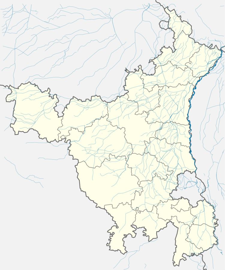
Map of Ateli, Haryana 123021
Geography
Ateli is located at 28.1°N 76.28°E / 28.1; 76.28. It has an average elevation of 299 metres (980 feet).
Demographics
As of 2001 India census, Ateli had a population of 5,671. Males constitute 54% of the population and females 46%. Ateli has an average literacy rate of 73%, higher than the national average of 59.5%; with 58% of the males and 42% of females being literate. Thirteen percent of the population is under six years of age.
Famous
Although Ateli is not a large town, it is home to a very old style shop near Purani Anaj Mandi which boasts a sweet which can fill the mouth with delight and joy, Barfi. With his experience over the years and a unique approach, Kailash Barfiwala, a local hometown hero, has built a significant amount of respect all his own in this town with this marvelous creation.It is often called as "Veer Bhoomi" due to a large number of Defence personnel belong to this and surrounding region. Ateli has produced a lot of Officers for defence officers in tri-services eg Flt Lt rakesh kaushik in indian air force
Ateli is main market to surrounded villages.Begpur, Khor,Todada,Phatni,kund and Majara are nearest villages. Ateli lies on Rewari-Narnaul route and have a railway station.