
Website www.atchisoncounty.org Founded 1845 Unemployment rate 4.8% (Apr 2015) | Area 1,424 km² Population 5,449 (2013) | |
 | ||
Rivers Tarkio River, Nishnabotna River, High Creek | ||
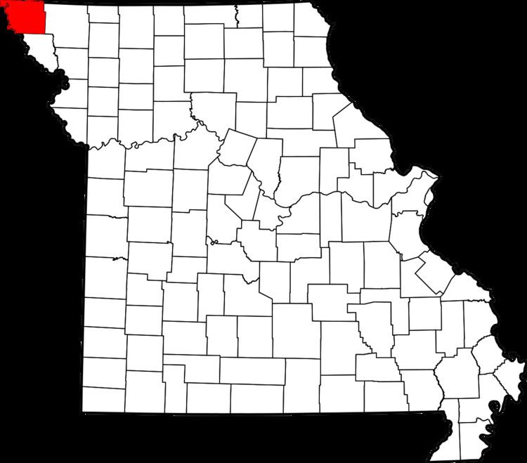
Atchison County is the northwestern-most county in the U.S. state of Missouri. As of the 2010 census, the county had a population of 5,685. Its county seat is Rock Port. It was originally known as Allen County when it was detached from Holt County in 1843. The county was officially organized on February 14, 1845 and named for U.S. Senator David Rice Atchison from Missouri.
Contents
- Map of Atchison County MO USA
- Geography
- Adjacent counties
- Major highways
- Demographics
- Public Schools
- Private Schools
- State
- Federal
- Missouri Presidential Preference Primary 2008
- Cities
- Village
- Census designated places
- Unincorporated community
- Townships
- Notable residents
- References
Map of Atchison County, MO, USA
Geography
According to the U.S. Census Bureau, the county has a total area of 550 square miles (1,400 km2), of which 547 square miles (1,420 km2) is land and 2.8 square miles (7.3 km2) (0.5%) is water.
Atchison's western boundary for the most part is the Missouri River and Nebraska. An 1867 flood straightened a bend in the river north of Watson. Both Nebraska and Missouri claimed the 5,000 acre McKissick Island that extends almost two miles into Atchison County. The Supreme Court in 1904 decided that the land belongs to Nebraska. The only way Nebraskans can reach it by road is to cross the Missouri River and then travel through Missouri.
Adjacent counties
Major highways
Demographics
As of the census of 2000, there were 6,430 people, 2,722 households, and 1,777 families residing in the county. The population density was 12 people per square mile (5/km²). There were 3,103 housing units at an average density of 6 per square mile (2/km²). The racial makeup of the county was 97.00% White, 2.05% Black or African American, 0.19% Native American, 0.14% Asian, 0.31% from other races, and 0.31% from two or more races. Approximately 0.67% of the population were Hispanic or Latino of any race.
There were 2,722 households out of which 26.60% had children under the age of 18 living with them, 55.80% were married couples living together, 6.10% had a female householder with no husband present, and 34.70% were non-families. 31.50% of all households were made up of individuals and 17.60% had someone living alone who was 65 years of age or older. The average household size was 2.25 and the average family size was 2.82.
In the county, the population was spread out with 24.10% under the age of 18, 6.50% from 18 to 24, 24.20% from 25 to 44, 24.20% from 45 to 64, and 21.10% who were 65 years of age or older. The median age was 42 years. For every 100 females there were 99.30 males. For every 100 females age 18 and over, there were 91.90 males.
The median income for a household in the county was $30,959, and the median income for a family was $38,279. Males had a median income of $27,468 versus $18,855 for females. The per capita income for the county was $16,956. About 9.30% of families and 11.60% of the population were below the poverty line, including 13.70% of those under age 18 and 12.40% of those age 65 or over.
Public Schools
Private Schools
State
All of Atchison County is a part of Missouri’s 1st District in the Missouri House of Representatives and is represented by Allen Andrews (R-Grant City).
All of Atchison County is a part of Missouri’s 12th District in the Missouri Senate and is currently represented by Dan Hegeman (R-Cosby).
Federal
All of Atchison County is included in Missouri’s 6th Congressional District and is currently represented by Sam Graves (R-Tarkio) in the U.S. House of Representatives.
Missouri Presidential Preference Primary (2008)
Cities
Village
Census-designated places
Unincorporated community
Townships
Atchison County is divided into 11 townships: