
Area 68.7 km² Local time Tuesday 8:29 AM | Area code(s) +7 71643 Population 29,984 (2012) | |
 | ||
Weather -16°C, Wind SW at 8 km/h, 91% Humidity | ||
2015
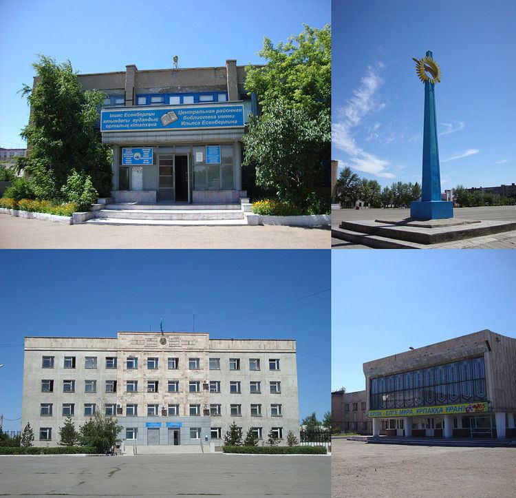
Atbasar is a town in Akmola Region of the northern Kazakhstan. It was founded in 1845. Atbasar is the 44th biggest city in Kazakhstan. Atbasar lies at an altitude of 282 meters above sea level. Population: 30,436 (2009 Census results);32,288 (1999 Census results).
Contents
Map of Atbasar 020000, Kazakhstan
Atbasar 2011
Climate
Kazakhstan's lowest recorded temperature was at Atbasar, measured at −57 °C (−71 °F).
Transport
The capital, Astana is 3.5 hours away by train. A narrow-gauge railway line running TU2 diesel locomotives provides local freight transport.
Atbasar also has a small airport.
Environment
Concern has been raised by the United Nations Economic Commission for Europe about exposure of the city to airborne uranium ore dust produced during the transfer of the ore from between railway flatcars.
References
Atbasar Wikipedia(Text) CC BY-SA