
Elevation 15 m (50 ft) Postal code 33990 Area code 0324 | Time zone EET (UTC+2) Licence plate 33 | |
 | ||
Ilichovka2012 atakent
Atakent is a town in Mersin Province, Turkey
Contents
- Ilichovka2012 atakent
- Map of Atakent Atakent Mahallesi 33990 Silifke2FMersin Province Turkey
- mraniye atakent mahallesi
- Geography
- History
- Economy
- References
Map of Atakent, Atakent Mahallesi, 33990 Silifke%2FMersin Province, Turkey
mraniye atakent mahallesi
Geography
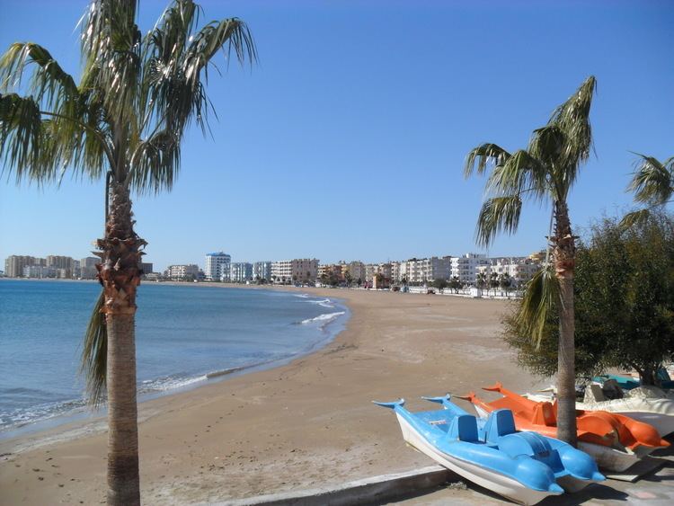
Atakent is a Mediterranean coastal town in Silifke district which itself is a part of Mersin Province. Alluvial plains of Silifke lie in the west of the town and hilly coastline is in the east of the town. The town is on the D 400 highway. The distance to Mersin is 67 km (42 mi) and to Silifke is 15 km (9.3 mi). The coordinates are about 36°23′N 34°08′E. The settled population is 6049 as of 2012.
History
The ruins of the historical town of Korasion which had been founded by Flavius Uranius, the governor of Roman Province Isauria between 367−375, is on the north east of the town. The ruins of Hellenistic and Roman settlement Karakabaklı are to the north. The new town is actually formed by a merger of four Turkmen villages in 1987. Now the former villages are quarters of the town. Susanoğlu quarter is at the east and Kapızlı quarter is at the west.
Economy
The main activity in Atakent with wide sandy beaches is tourism. Boarding houses and campings as well as newer hotels and clubs attract domestic tourists. Agriculture, especially forced crop agriculture is also an important activity. Fruits, like strawberries are well known products of Atakent.