
District Southern Denkalya Climate BWh Local time Monday 1:33 AM | Elevation 16 m (52 ft) Population 101,284 (2012) Number of airports 1 | |
 | ||
Weather 25°C, Wind SE at 16 km/h, 62% Humidity | ||
Assab or Aseb (Tigrinya: ዓሰብ?, ʿAsäb; Arabic: عصب) is a port city in the Southern Red Sea Region of Eritrea. It is situated on the west coast of the Red Sea. Languages spoken in Assab are predominately Afar, Tigrinya, and Arabic.
Contents
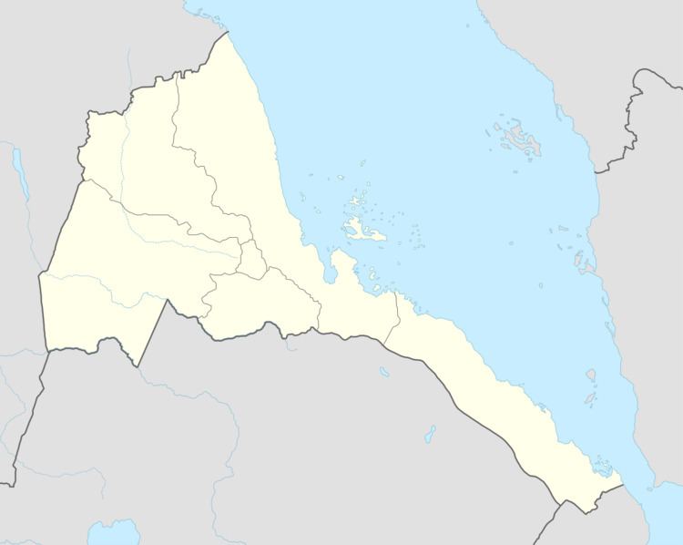
Map of %C4%80ssab, Eritrea
Overview
Assab is known for its large market, beaches and nightlife. It is served by the Assab International Airport.
In 1989, Assab had a population of 39,600 inhabitants. It possesses an oil refinery, which was shut down in 1997 for economic reasons. Nearby is the site of the ancient city of Arsinoe.
Climate
Assab has a hot desert climate (Köppen climate classification BWh) typical of the Danakil Region. The climate is arid, extremely hot. The city receives low average annual rainfall of 40 mm (1.57 in). It experiences high temperatures both during the day and during the night. The annual mean average temperature approaches 31 °C (87.8 °F).
History
In 1869 it was bought by the Rubattino Shipping Company of Italy from the local Sultan. This laid the foundations for the formation of the colony of Italian Eritrea which became the independent country of Eritrea.
Economy
The port facilities were greatly expanded in the early 1990s, with the construction of the new terminal, but the port has declined since trade with Ethiopia was terminated in 1998 as a consequence of the Eritrean-Ethiopian War.