
Topo map 92N/06 Prominence 1,516 m | Elevation 3,716 m | |
 | ||
Similar Mount Tiedemann, Middle Finger, One Eye Peak, Mount Arthur, Mount Frederick William | ||
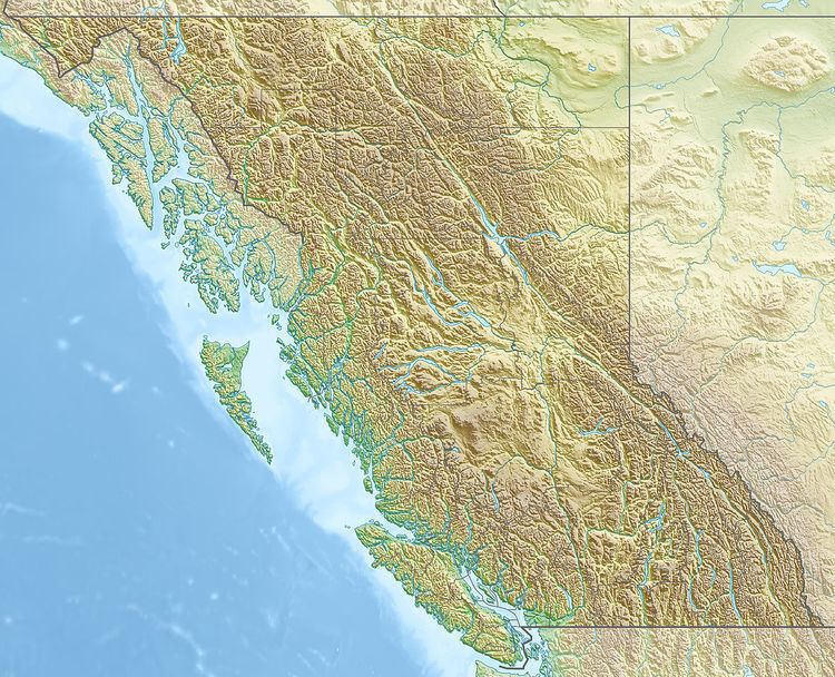
Asperity Mountain is a mountain located in British Columbia, Canada, rising to 3,716 metres (12,192 ft). It is located between Tellot and Tiedemann Glaciers on the north and south respectively, in the Waddington Range, a subrange of the Pacific Ranges. The gorge of the Homathko River runs north to south on the east side of the mountain, carrying runoff from the mountain and glaciers to the Pacific Ocean.
Map of Asperity Mountain, Comox-Strathcona J, BC, Canada
The term "Asperity", which the mountain takes its name from, refers to "unevenness of surface, roughness, ruggedness". The name was made official on February 23, 1978, although it was labeled as early as 1929 by Don Munday.
Asperity Mountain is described as being a "fine, high, sharp summit", with Mount Tiedemann to the west and the Serra Peaks bordering it on the east. Its south side is described as being rocky. There is an icefall to its north from the Radiant Glacier, a branch of the Tellot Glacier.