
Vehicle registration AP | Time zone IST (UTC+5:30) Local time Monday 2:14 AM | |
 | ||
Weather 24°C, Wind SE at 10 km/h, 49% Humidity | ||
Syndicate ost aspari extraction club music hd
Aspari is a village in Kurnool district of Andhra Pradesh, India.
Contents
- Syndicate ost aspari extraction club music hd
- Map of Aspari Andhra Pradesh 518347
- Kurnool farmers protest against gold ornaments auction at aspari sbi
- References
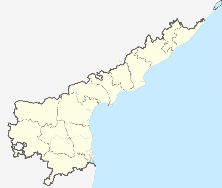
Map of Aspari, Andhra Pradesh 518347
Aspari is a Mandal in Kurnool District of Andhra Pradesh State, India. Aspari Mandal Headquarters is Aspari town . It belongs to Rayalaseema region . It is located 93 km towards west from District headquarters Kurnool. 283 km from State capital Hyderabad towards North .Pin code of Aspari Village-518347. Aspari Mandal is bounded by Pattikonda Mandal towards East, Devanakonda Mandal towards East, Alur Mandal towards west, Adoni Mandal towards North . Adoni City, Yemmiganur City, Guntakal City, Gooty City are the nearby Cities to Aspari.Aspari consist of 33 Villages and 19 Panchayats . Chokkanahalli is the smallest Village and Aspari is the biggest Village . It is in the 460 m elevation(altitude) . Mantralayam, Kurnool, Hampi, Hospet (Hosapete), Puttaparthi are the nearby Important tourist destinations to see. Aspari Population - Kurnool, Andhra PradeshAspari is a large village located in Aspari of Kurnool district, Andhra Pradesh with total 1410 families residing. The Aspari village has population of 7263 of which 3624 are males while 3639 are females as per Population Census 2011.
In Aspari village population of children with age 0-6 is 910 which makes up 12.53% of total population of village. Average Sex Ratio of Aspari village is 1004 which is higher than Andhra Pradesh state average of 993. Child Sex Ratio for the Aspari as per census is 912, lower than Andhra Pradesh average of 939.
Aspari village has lower literacy rate compared to Andhra Pradesh. In 2011, literacy rate of Aspari village was 56.63% compared to 67.02% of Andhra Pradesh. In Aspari Male literacy stands at 69.03% while female literacy rate was 44.46%.
As per constitution of India and Panchyati Raaj Act, Aspari village is administrated by Sarpanch (Head of Village) who is elected representative of village.
HOW TO REACH Aspari VillageBy Rail:
The nearest railway station to Aspari is Adoni which is located in and around 19.9 kilometer distance. The following table shows other railway stations and its distance Aspari raiway station 5 kmAdoni railway station 19.9 km.Maddikera railway station 24.5 km.Guntakal Jn railway station 34.7 km.Gooty railway station 44.3 km.Dhone Jn railway station 51.9 km.By Road:
Adoni,Yemmiganur,Pattikonda,Alur are the nearby towns to Aspari having road connectivity to Aspari.By Bus
Aspari APSRTC Bus Station, Pattikonda APSRTC Bus Station, Adoni APSRTC Bus Station are the nearby by Bus Stations to Aspari .APSRTC runs Number of busses from major cities to here. Banks in Aspari: Andhra Pragathi Grameena Bank, Aspari ( Ifsc Code : APGB0003142, micrCode: 518703583) Indian Overseas Bank, Aspari ( Ifsc Code : IOBA0003390, micrCode: WAITING) State Bank Of India, Aspari ( Ifsc Code : SBIN0003364, micrCode: 518002347)