
Population 750 (2011) Sovereign state United Kingdom Area 9.74 km² | OS grid reference TM 151 974 Postcode district NR16 Local time Sunday 4:16 PM Dialling code 01508 | |
 | ||
Weather 11°C, Wind SW at 35 km/h, 71% Humidity | ||
Ashwellthorpe and Fundenhall is a civil parish in the English county of Norfolk, situated some 6 km south-east of Wymondham and 20 km south-west of Norwich. The parish includes the villages of Ashwellthorpe and Fundenhall, which lie about 1 km apart, although rather farther by road.[1]
Contents
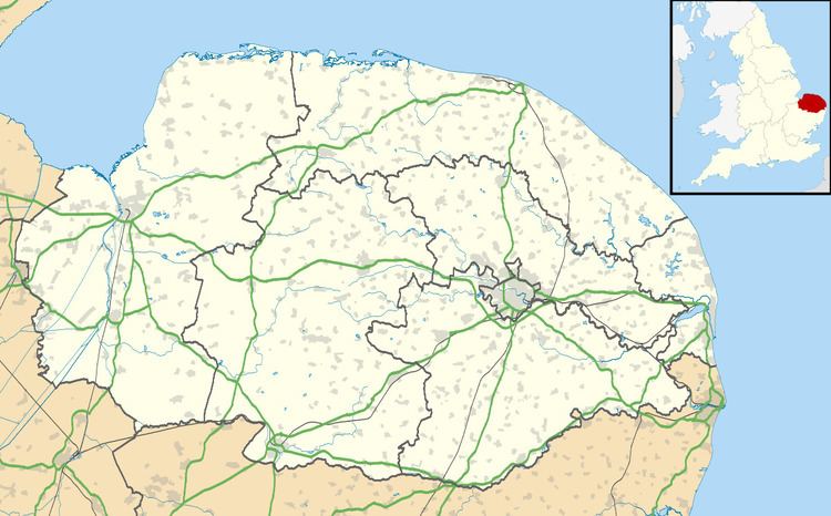
Map of Ashwellthorpe and Fundenhall, UK
The civil parish has an area of 9.74 km2 and in the 2001 census had a population of 756 in 301 households, the population falling to 750 at the 2011 Census. For the purposes of local government, the parish falls within the district of South Norfolk. Fundenhall was a separate parish until it was annexed by Ashwellthorpe in 1935. The combined parish was known as Ashwellthorpe until 2003, when it adopted its current name.[2][3][4]
Railway
Ashwellthorpe had a railway station on the Forncett to Wymondham line; it closed in 1939.