
Type natural Surface area 229 acres (93 ha) Area 93 ha | Primary inflows Surface elevation 2,168 m Mean depth 3.66 m | |
 | ||
Location Coconino County, Arizona, United States | ||
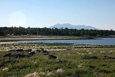
Ashurst lake fishing
Ashurst Lake is a small lake located on the Anderson Mesa 20 miles (32 km) southeast of Flagstaff. It is one of the few natural lakes in the state of Arizona, the bulk of which reside in the area.
Contents
Map of Ashurst Lake, Arizona 86001, USA
Unlike similarly sized lakes in the North Central Arizona region, Ashurst is fed by more reliable springs and has a reputation for retaining water even during long dry periods. The lake is regularly stocked with rainbow trout and thus a common destination for local anglers. Ashurst Lake is also considered a favorable fishing location for Northern Pike. The facilities are maintained under the authority of the Coconino National Forest.
The lake has two campgrounds, Ashurst Lake on the west shore and Forked Pine on the east shore.
Fish speciesEdit
References
Ashurst Lake Wikipedia(Text) CC BY-SA