
Length 103 km | Source Butterfield Pond | |
 | ||
Bridges | ||
Ashuelot river kayaking
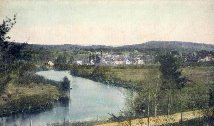
The Ashuelot River is a tributary of the Connecticut River, approximately 64 miles (103 km) long, in southwestern New Hampshire in the United States. It drains a mountainous area of 425 square miles (1,101 km2), including much of the area known as the Monadnock Region. It is the longest tributary of the Connecticut River within New Hampshire.
Contents
- Ashuelot river kayaking
- Map of Ashuelot River New Hampshire USA
- Ashuelot river campground swanzey nh
- CourseEdit
- Selected tributariesEdit
- References
Map of Ashuelot River, New Hampshire, USA
Ashuelot river campground swanzey nh
CourseEdit
The Ashuelot River rises out of Butterfield Pond south of Sunapee Mountain in Pillsbury State Park, near Washington in southeastern Sullivan County. It flows southwest through Ashuelot Pond into Cheshire County, then south past Keene and Swanzey and along the east side of the Pisgah Mountains. At Winchester, approximately 3 miles (5 km) from the Massachusetts state line, it turns west, flowing past the village of Ashuelot and joining the Connecticut from the east at Hinsdale, in the extreme southwest corner of New Hampshire.
The river is impounded to supply hydroelectricity at Marlow, Keene, Swanzey, and Hinsdale. The river is part of the Atlantic Salmon Restoration Program of the U.S. government.
Selected tributariesEdit
From source to mouth: