
Population 189 {2011} Sovereign state United Kingdom Area 4.82 km² | OS grid reference TG310208 Postcode district NR12 Local time Sunday 3:08 PM | |
 | ||
Weather 12°C, Wind SW at 32 km/h, 70% Humidity | ||
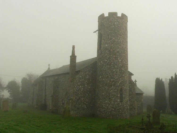
Ashmanhaugh is a village and civil parish in the English county of Norfolk, situated some 20 km north east of Norwich. See Inside the churches of St Swithins here & Beeston St Lawrence here. Apart from Ashmanhaugh village itself, the parish also includes Beeston St Lawrence, which was a separate parish until 1935.
Map of Ashmanhaugh, UK
The civil parish has an area of 4.82 square kilometres and in the 2001 census had a population of 197 in 74 households, the population falling to 189 at the 2011 census. For the purposes of local government, the parish falls within the district of North Norfolk.[1][2]
The churches of Ashmanhaugh St Swithin and Beeston St Lawrence are two of 124 existing round-tower churches in Norfolk.
References
Ashmanhaugh Wikipedia(Text) CC BY-SA