
Elevation 759 m (2,490 ft) | Phone +81 550-76-5000 | |
 | ||
Traversed by Kanagawa / Shizuoka Prefecturel Route 78 Topo map Geographical Survey Institute25000:1 関本 Similar Mount Ashigara, Yaguradake, Ashigara Station, Daiyūzan Station, Otome Pass | ||
Mt kintoki hiking from ashigara pass hakone kanagawa japan
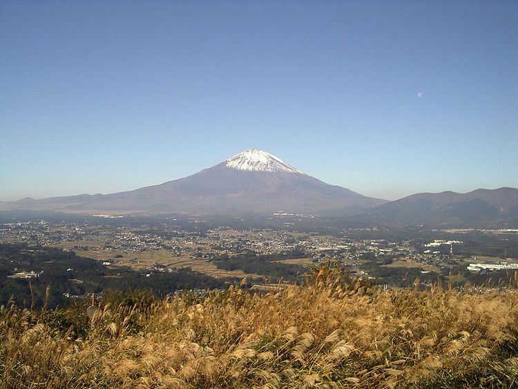
Ashigara Pass (足柄峠, Ashigara-tōge) is a mountain pass on the border of Kanagawa and Shizuoka Prefectures, near to Mount Kintoki in Japan. The pass traverses the mountains at 759 metres (2,490 ft).
Contents
- Mt kintoki hiking from ashigara pass hakone kanagawa japan
- 0974the ashigara pass
- History
- Access
- References
0974the ashigara pass
History
The pass on the ancient Tōkaidō highway was described as the 8th century, in the Man'yōshū. This pass was the border of Sagami and Suruga provinces, and the entrance of Kantō region in Japan. Checkpoint was built in 899, and castle was built in the 16th century (These are not exist now).
Access
References
Ashigara Pass Wikipedia(Text) CC BY-SA