
Country Canada Formed 2001 Area code(s) 519 and 226 Area 587.1 km² Population 5,582 (2011) | County Huron Time zone EST (UTC-5) Website www.acwtownship.ca Elevation 269 m Local time Sunday 8:49 AM | |
 | ||
Weather -3°C, Wind W at 23 km/h, 61% Humidity | ||
The Township of Ashfield–Colborne–Wawanosh is a municipality in Huron County, Ontario, Canada. It was formed as an amalgamation of the former Ashfield, Colborne and West Wawanosh townships in 2001, in an Ontario-wide local government restructuring imposed by the government of that time. The three former townships now comprise the wards of the amalgamated municipality.
Contents
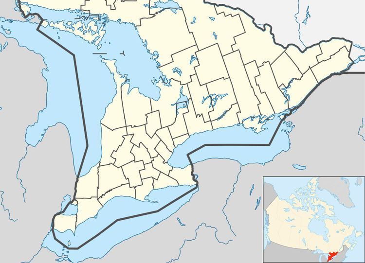
- Map of Ashfield Colborne Wawanosh ON Canada
- Geography
- Military history
- Transportation
- Facilities
- Demographics
- References
Map of Ashfield-Colborne-Wawanosh, ON, Canada
Geography
Ashfield–Colborne–Wawanosh is located in the northwest corner of Huron County. Lake Huron is the western boundary and the Township has 35.3 km of Lake Huron shoreline. Its southern boundary is the Maitland River between Goderich and Auburn. The eastern border is Huron Road 22, from Auburn north to Huron Road 86 near Whitechurch. Huron Road 86 is generally the northern border of Ashfield–Colborne–Wawanosh except for the Lucknow community limits which are in Bruce County.
The township encompasses the communities of Amberley, Auburn, Benmiller, Carlow, Dungannon, Kingsbridge, Kintail, Nile, Port Albert, St. Augustine, St. Helens and Saltford.
Military history
During World War II the Royal Air Force operated No. 31 Air Navigation School as part of the British Commonwealth Air Training Plan on Highway 21 near Port Albert. The school opened on 18 November 1940 and closed on 17 February 1945.
The 402 acre site was later used as a race car track and in 2013 is farmland.
There is a memorial cairn and plaque at 83700 Highway 21. The airfield was located across the road from the cairn at 43°53′5″N 081°41′48″W .
Transportation
Highway 21 travels through the western portion of the township.
Huron Road 1 proceeds north from Benmiller through Carlow then Lucknow.
The Goderich Municipal Airport Goderich Airport is also located in the Township of ACW.
Facilities
Municipal offices are located west of Carlow (82133 Council Line), north-east of Goderich at the south end of the township.
Demographics
Population trend: