
Constituted January 1, 1878 Time zone EST (UTC−5) Area 66.9 km² Local time Saturday 4:20 PM Area code 819 | Settled 1854 Demonym(s) Arundelite Postal code(s) J0T 1A0 Population 604 (2011) Province Québec | |
 | ||
Weather 5°C, Wind NE at 2 km/h, 99% Humidity RCMs Laurentides, Les Laurentides Regional County Municipality | ||
Arundel quebec aerial from dji phantom vision
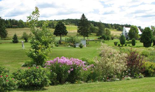
Arundel is a township municipality in Quebec, Canada, located 18 kilometres (11 mi) south of Mont Tremblant.
Contents
Map of Arundel, QC, Canada
Arundel was settled by Scottish and Irish immigrants in the mid-19th century who established subsistence farming operations and worked the forests in winter.
Today most of the land is reserved for agricultural use despite strong growth in the region. Much of Arundel borders the Rouge River.
Demographics
Population trend:
Private dwellings occupied by usual residents: 290 (total dwellings: 400)
Mother tongue:
References
Arundel, Quebec Wikipedia(Text) CC BY-SA