
Highest elevation 275 m (902 ft) Area 111 km² | Elevation 275 m | |
 | ||
Archipelago | ||
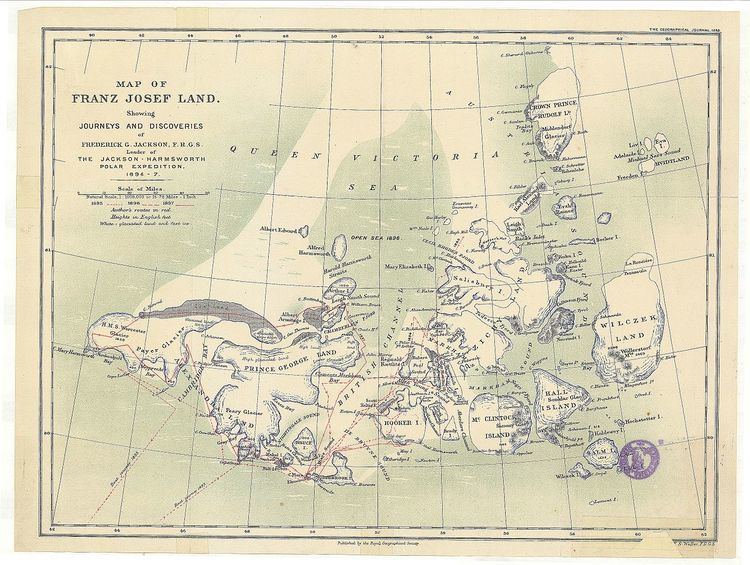
Arthur Island (Russian: Остров Артура; Ostrov Artura) is an island in Franz Josef Land, Russia. It belongs administratively to the Arkhangelsk Oblast of the Russian Federation.
Contents
- Map of Arthur Island Arkhangelsk Oblast Russia
- 40 is 2075 arthur island honey harbour ontario barrie real estate tours
- Geography
- References
Map of Arthur Island, Arkhangelsk Oblast, Russia
40 is 2075 arthur island honey harbour ontario barrie real estate tours
Geography
Arthur Island lies in the Queen Victoria Sea north of Zemlya Georga, relatively far from any other island. Its area is 111 km2 (43 sq mi) and its maximum height 275 m (902 ft).
Arthur Island is practically completely glacierized. Only a small area (Mys Ledovoy Razvedky) in the northwestern shores of the island and another (Mys Nizkiy) in the southernmost point of the island are free of glacier ice.
This island was named by Frederick George Jackson after his brother Arthur Jackson, in the Jackson-Harmsworth Polar Expedition.
References
Arthur Island Wikipedia(Text) CC BY-SA