
 | ||
Arsela Peak (Bulgarian: връх Арсела, ‘Vrah Arsela’ \'vr&h ar-'se-la) is the peak rising to 1600 m near the south end of Owen Ridge, the southernmost portion of the main ridge of Sentinel Range in Ellsworth Mountains, Antarctica. It has precipitous and partly ice-free north and southwest slopes, and surmounts lower Nimitz Glacier to the southwest and the end of Wessbecher Glacier to the northeast.
Contents
Map of Arsela Peak, Antarctica
The peak is named after the Thracian settlement of Arsela in Southern Bulgaria.
Location
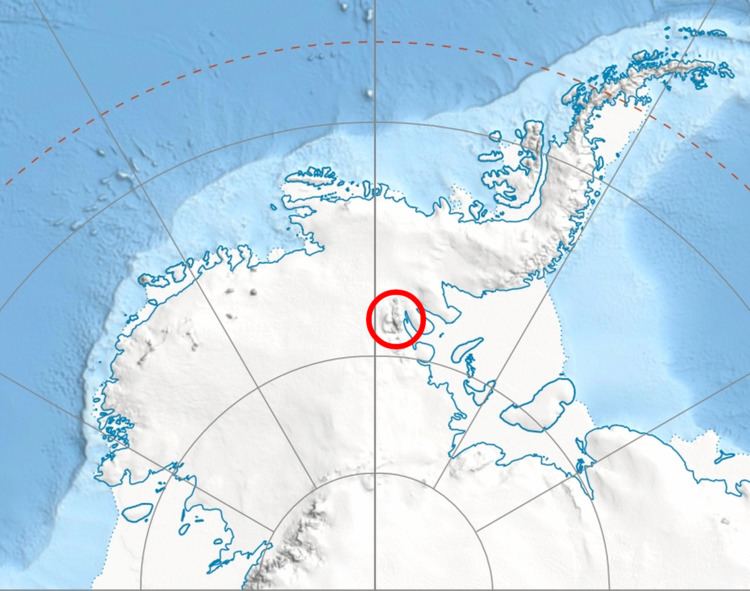
Arsela Peak is located at 78°56′29.6″S 84°35′19″W, which is 11 km southeast of Lishness Peak, 14.9 km west-southwest of Mountainview Ridge in Petvar Heights, 4 km north-northwest of Bowers Corner, and 12.1 km northeast of O'Neal Nunataks in Bastien Range. US mapping in 1961 and 1988.