
Elevation 2,200 m | ||
 | ||
People also search for Mount Anderson, Mount Farrell, Mount Tyree | ||
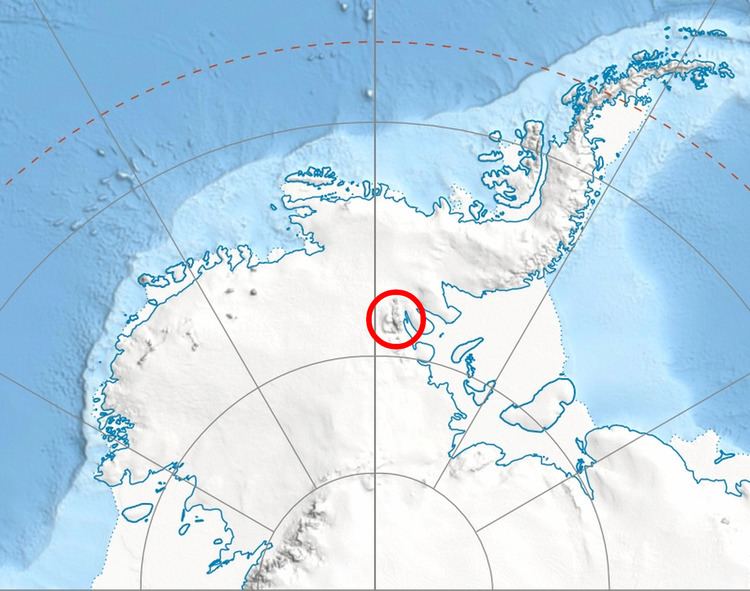
Lishness Peak (78°53′S 84°45′W) is a peak, 2,200 metres (7,200 ft) high, in Owen Ridge near the south end of the Sentinel Range of the Ellsworth Mountains in Antarctica, rising at the east side of Nimitz Glacier, 1 nautical mile (2 km) southeast of Wilson Peak and 8.8 nautical miles (16 km) northwest of Bowers Corner. It was first mapped by the United States Geological Survey from surveys and U.S. Navy air photos from 1957–59, and was named by the Advisory Committee on Antarctic Names for Alton R. Lishness, a radio operator on a U.S. Navy R4D exploratory flight to this area on January 28, 1958.
Contents
Map of Lishness Peak, Antarctica
Maps
References
Lishness Peak Wikipedia(Text) CC BY-SA