
Population Uninhabited | ||
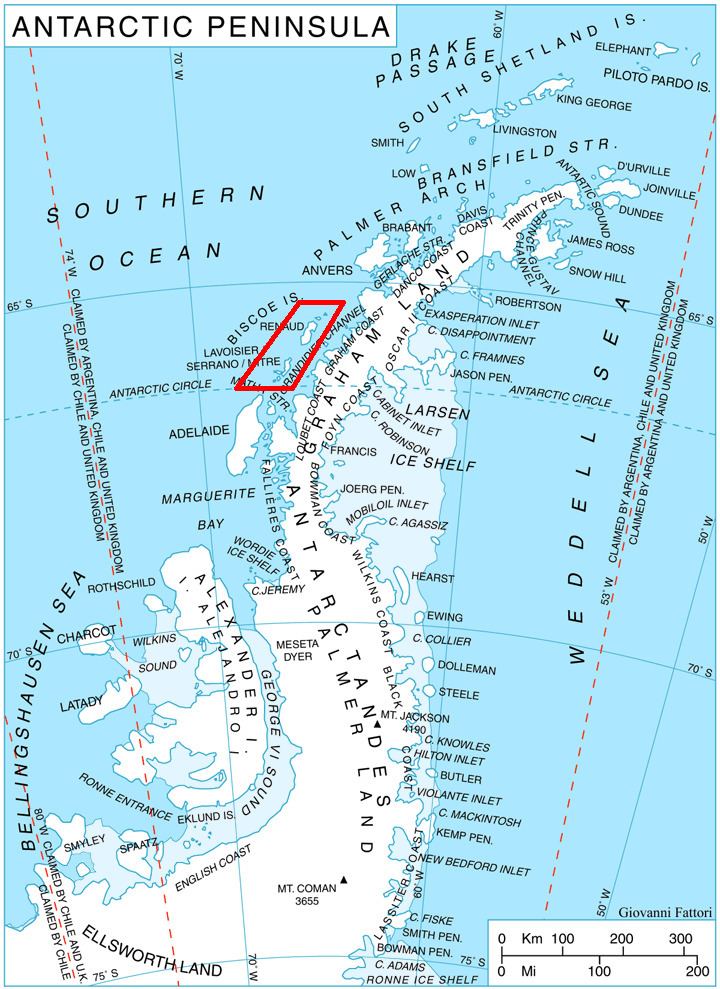 | ||
Arrowsmith Island (Bulgarian: остров Ароусмит, ‘Ostrov Arrowsmith’ \'os-trov 'a-ro-u-smit) is a mostly ice-covered island in the Pitt group of Biscoe Islands, Antarctica. It is 2.53 km long in west-southwest to east-northeast direction and 900 m wide.
Contents
Map of Arrowsmith Island, Antarctica
The island is named after the British cartographer Aaron Arrowsmith (1750-1823) who published a map of the south polar region in 1794.
Location
Arrowsmith Island is located at 65°30′28″S 65°32′09″W, 1.43 km southeast of Pickwick Island, 500 m south of Tupman Island and 900 m northwest of Fizkin Island. British mapping in 1971.
Maps
References
Arrowsmith Island Wikipedia(Text) CC BY-SA