
Country Brazil Lowest elevation 41 m (134 ft) Area 159.3 km² | Highest elevation 150 m (492 ft) Neighbourhoods 1 | |
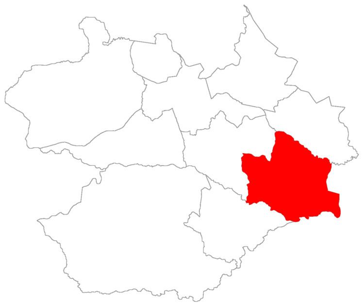 | ||
Arroio do Só ("rivulet of the hermit") is a district of the municipality of Santa Maria, in the Brazilian state of Rio Grande do Sul. It is situated in the east portion of Santa Maria. The district's seat is located 36 km (22,37 miles) from Downtown Santa Maria, and, is situated closely to limit with the district of Palma and limits with the municipality of Restinga Seca.
Contents
The district of Arroio do Só owns an area of 159,30 km² that is equivalent to 8,89% of the municipality of Santa Maria that is 1791,65 km².
History
The district was created in 1886, in 1993 the district's name was changed to "Arroio do Sol" (Rivulet of the Sun), and, in 1998 its name came back to be Arroio do Só (Rivulet of the Hermit).
In 1950, Arroio do Só owned 460 km². In 1961 loses part of its territory to the district of Santa Flora and, in 1997, to district of Palma.
Limits
The district limits with the districts of Pains, Palma, and, Passo do Verde, and, with the municipalities of Restinga Seca and Formigueiro.
Neighbourhoods
The district of Arroio do Só is divided in the following bairros, that in English is equivalent to neighbourhoods: