
Country Brasil Lowest elevation 46 m (151 ft) Area 133.6 km² | Highest elevation 139 m (456 ft) Neighbourhoods 1 | |
 | ||
Pains ([???], "Pains" - probably the plural of Paim family name) is a district of the municipality of Santa Maria, in the Brazilian state of Rio Grande do Sul. It is situated in the central portion of Santa Maria. The district's seat is 15 km (9.32 miles) far from Downtown Santa Maria.
Contents
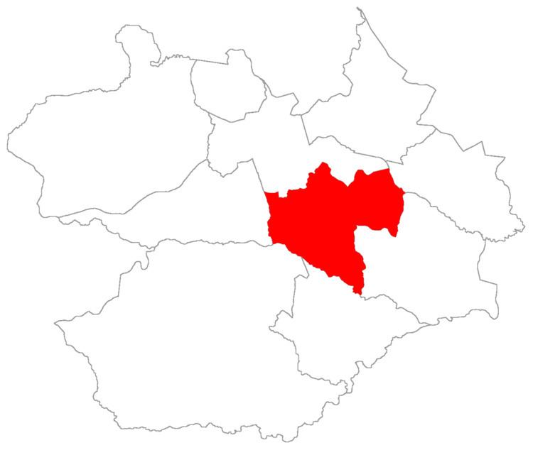
Map of Pains, Santa Maria - RS, Brazil
The district of Pains owns an area of 133.61 km² that is equivalent to 7,46% of the municipality of Santa Maria that is 1791,65 km².
History
With the creation of the Camobi neighbourhood, integrating it to district of Sede, continued to exist the "district of Camobi" that, nowadays, is equivalent to the districts of Arroio Grande (part of) and Pains. After it was created the district of Arroio Grande and to not be confounded with the neighbourhood of district of Sede with the same name (Camobi), the city hall created the district of Pains.
Limits
The district limits with the districts of Arroio do Só, Palma, Passo do Verde, Santa Flora, São Valentim and Sede.
Neighbourhoods
The district of Pains is divided in the following bairros, that in English is equivalent to neighbourhoods: