
Country Brasil Lowest elevation 50 m (164 ft) Area 508.5 km² | Highest elevation 139 m (456 ft) Neighbourhoods 1 | |
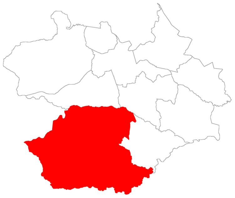 | ||
Santa Flora ("Saint Flora") is a district of the municipality of Santa Maria, in the Brazilian state of Rio Grande do Sul. It is situated in the south portion of Santa Maria. The district's seat is located 36 km (22,37 miles) from Downtown Santa Maria.
Contents
The district of Santa Flora owns an area of 508,52 km² that is equivalent to 28,38% of the municipality of Santa Maria that is 1791,65 km².
History
The district of Santa Flora was created in 1961 and its first name was Colônia Vacacaí. Its area arose from the dismemberment of territories from the districts of Arroio do Só and Dilermando de Aguiar, that was a district of Santa Maria and nowadays is a municipality.
On July 7, 1962 the district received the actual name.
Limits
The district limits with the districts of Pains, Passo do Verde, São Valentim, and, with the municipalities of São Sepé, São Gabriel and Dilermando de Aguiar.
Neighbourhoods
The district of Santa Flora is divided in the following bairros, that in English is equivalent to neighbourhoods: