
Time zone CET (UTC+1) Local time Wednesday 11:45 PM | Area 20.02 km² Population 333 (2007) | |
 | ||
Weather 9°C, Wind SW at 29 km/h, 81% Humidity | ||
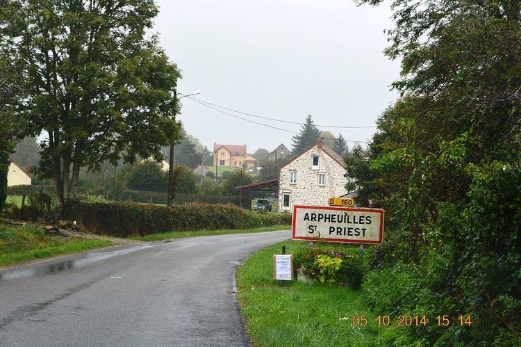
Arpheuilles-Saint-Priest is a French commune in the Allier department in the Auvergne-Rhône-Alpes region of central France.
Contents
- Map of 03420 Arpheuilles Saint Priest France
- Geography
- Administration
- Demography
- Distribution of Age Groups
- Sites and monuments
- References
Map of 03420 Arpheuilles-Saint-Priest, France
The inhabitants of the commune are known as Arpheuillais or Arpheuillaises.
Geography
Arpheuilles-Saint-Priest is located some 14 kilometres (8.7 mi) south-east of Montluçon and some 8 kilometres (5.0 mi) south-west of Commentry. Access to the commune is by the D69 road from Durdat-Larequille in the north-east passing through the village and continuing south-east to Ronnet. The D1089 branches off the D69 just north-west of the village and continues south-west to Marcillat-en-Combraille. The D460 from Ronnet going north to join the D2144 passes through the east of the commune. Apart from the village there are the hamlets of Villenette, La Naute, and L'Harpe. Apart from a large belt of forest in the north, the commune is entirely farmland.
The Banny river rises in the commune near the village and flows north-east to the Etang de la Ganne. The Ruisseau de Puy Clevaud rises near Villenette and flows south to join the Tartasse south of the commune.
Administration
List of Successive Mayors
(Not all data is known)
Demography
In 2013 the commune had 351 inhabitants. The evolution of the number of inhabitants is known from the population censuses conducted in the commune since 1793. From the 21st century, a census of communes with fewer than 10,000 inhabitants is held every five years, unlike larger towns that have a sample survey every year.
Sources : Ldh/EHESS/Cassini until 1962, INSEE database from 1968 (population without double counting and municipal population from 2006)
Distribution of Age Groups
Percentage Distribution of Age Groups in Arpheuilles-Saint-Priest and Allier Department in 2009
Sources: