
- elevation 163 m (535 ft) Phone +44 1524 761034 | Area 75 km² | |
 | ||
Address Milnthorpe, Silverdale, Carnforth LA5 0RW, UK Hours Closed now Wednesday10AM–4PMThursday10AM–4PMFriday10AM–4PMSaturday10AM–4PMSunday10AM–4PMMonday10AM–4PMTuesday10AM–4PM Similar Arnside Knott, Leighton Moss RSPB res, Warton Crag, Morecambe Bay, Arnside Tower | ||
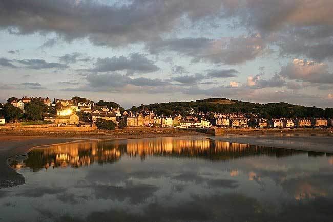
Arnside and Silverdale is an Area of Outstanding Natural Beauty in England, on the border between Lancashire and Cumbria, adjoining Morecambe Bay. One of the smallest AONBs, It covers 29 square miles (75 km²) between the Kent Estuary, the River Keer and the A6 road. It was designated in 1972.
The area is characterised by low hills of Carboniferous Limestone, including Arnside Knott (522 feet) and Warton Crag (535 feet), interspersed with grassland. Much of the area is covered by deciduous woodland, in which ash, oak and hazel predominate. The coastal areas contain large areas of salt marsh, although these are under threat from the shifting channel of the Kent Estuary. [1]
The Leighton Moss nature reserve, owned by the RSPB, is the largest area of reedbeds in North West England, and is an Important Bird Area. The bittern, one of the resident species, has been adopted as the logo of the AONB. In addition there are 15 SSSIs in the area; one of these, Gait Barrows National Nature Reserve, is home to some rare species of butterfly including the High Brown Fritillary.
Arnside and Silverdale are the main villages in the area. Other settlements include Warton, Yealand Redmayne, Beetham and Storth.