
Elevation 159 m | OS grid SD456775 Prominence 150 m Listing Marilyn | |
 | ||
Mountain range Lake District, Far Eastern Fells Similar Knott, Lambrigg Fell, Gummer's How, Aye Gill Pike, Grayrigg Forest | ||
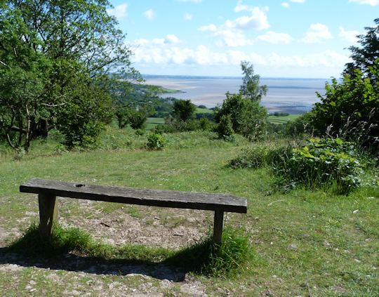
Arnside Knott is a hill with a summit elevation of 159 metres (522 ft), near Arnside, Cumbria, England. Although it is in South Lakeland district it is not in the Lake District National Park, lying south of the River Kent which forms the south eastern boundary of the national park. It is within the Arnside and Silverdale Area of Outstanding Natural Beauty, and is National Trust property.
Map of Arnside Knott, Carnforth, UK
Arnside Knott is the lowest Marilyn (i.e. a hill with over 150 m of topographic prominence) in England. It was not included in Alan Dawson's The Relative Hills of Britain (1992) ISBN 1-85284-068-4 which was the first listing of Marilyns, but was added to the list in 2004-05.
The National Trust grazes Highland cattle on Arnside Knott.
References
Arnside Knott Wikipedia(Text) CC BY-SA