
Elevation 269 m | State Jammu and Kashmir Time zone IST (UTC+5:30) Population 9,057 (2001) | |
 | ||
Weather 14°C, Wind NE at 11 km/h, 80% Humidity | ||
Ground reporting on the firing of pakistan in r s pura and arnia sector of j k part ii
Arnia (Hindi: अरनिया) is a town and a notified area committee in Jammu district in the state of Jammu & Kashmir, India.
Contents
- Ground reporting on the firing of pakistan in r s pura and arnia sector of j k part ii
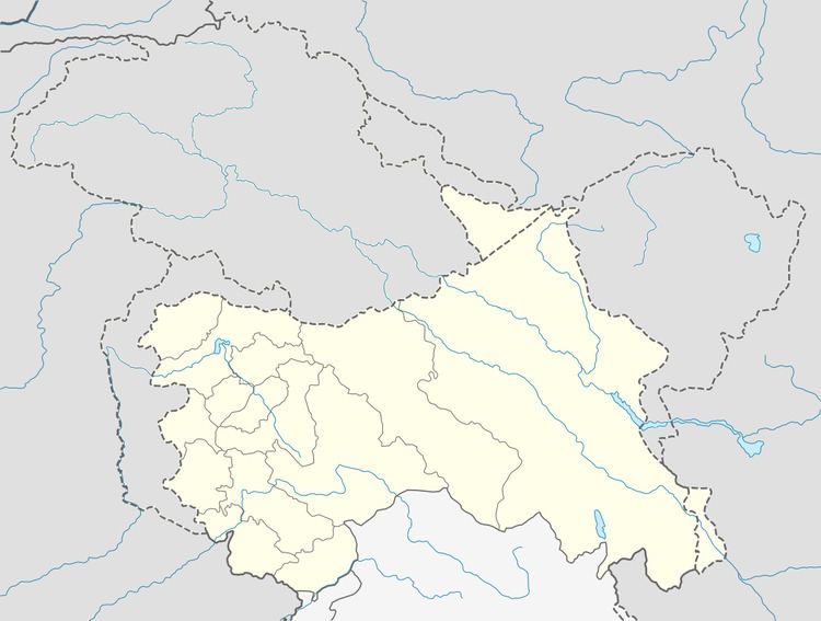
- Map of Arnia 181131
- Growing sarnia
- Geography
- Demographics
- Religion
- References
Map of Arnia 181131
Growing sarnia
Geography
Arnia is located at 32.52°N 74.8°E / 32.52; 74.8. It has an average elevation of 269 metres (882 feet).
Demographics
As of 2001 India census, Arnia had a population of 9057. Males constitute 52% of the population and females 48%. Arnia has an average literacy rate of 65%, higher than the national average of 59.5%; with 57% of the males and 43% of females literate. 12% of the population is under 6 years of age.
Religion
Hindu 98.64%, Sikh .55%, Muslim .07%,
References
Arnia Wikipedia(Text) CC BY-SA