
Country France Department Aisne Canton Neuilly-Saint-Front Area 6.81 km² | Local time Wednesday 6:01 PM | |
 | ||
Weather 9°C, Wind SW at 24 km/h, 100% Humidity | ||
Armentières-sur-Ourcq is a French commune in the department of Aisne in the Hauts-de-France region of northern France.
Contents
- Map of 02210 ArmentiC3A8res sur Ourcq France
- Geography
- Administration
- Demography
- Sites and monuments
- Notable people linked to the commune
- References
Map of 02210 Armenti%C3%A8res-sur-Ourcq, France
Geography
Armentières-sur-Ourcq is located some 30 km south of Soissons and 30 km south-east of Villers-Cotterêts. The D1 road runs through the south-west corner of the commune however the main access is on the D79 from La Croix-sur-Ourcq in the south-west running to the village then west to Nanteuil-Notre-Dame in the east. The D80 road also comes from Oulchy-le-Château in the north and continues south to Coincy. The commune is almost entirely farmland except for a belt of forest in the north.
The Ourcq river flows from east to west through the northern part of the commune and forming part of the northern border. The Ru Garnier stream flows from the south of the commune north through the village and continuing north to join the Ourcq river.
Administration
List of Successive Mayors of Armentières-sur-Ourcq
(Not all data is known)
Demography
In 2010 the commune had 98 inhabitants. The evolution of the number of inhabitants is known through the population censuses conducted in the town since 1793. From the 21st century, a census of municipalities with fewer than 10,000 inhabitants is held every five years, unlike larger towns that have a sample survey every year.
Sources : Ldh/EHESS/Cassini until 1962, INSEE database from 1968 (population without double counting and municipal population from 2006)
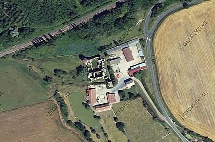
Sites and monuments
The commune has two sites that are registered as historical monuments: