
Department Aisne Intercommunality Oulchy le Château Area 15.08 km² Local time Tuesday 5:07 AM | Canton Oulchy-le-Château Time zone CET (UTC+1) Population 849 (1999) | |
 | ||
Weather 7°C, Wind S at 6 km/h, 88% Humidity | ||
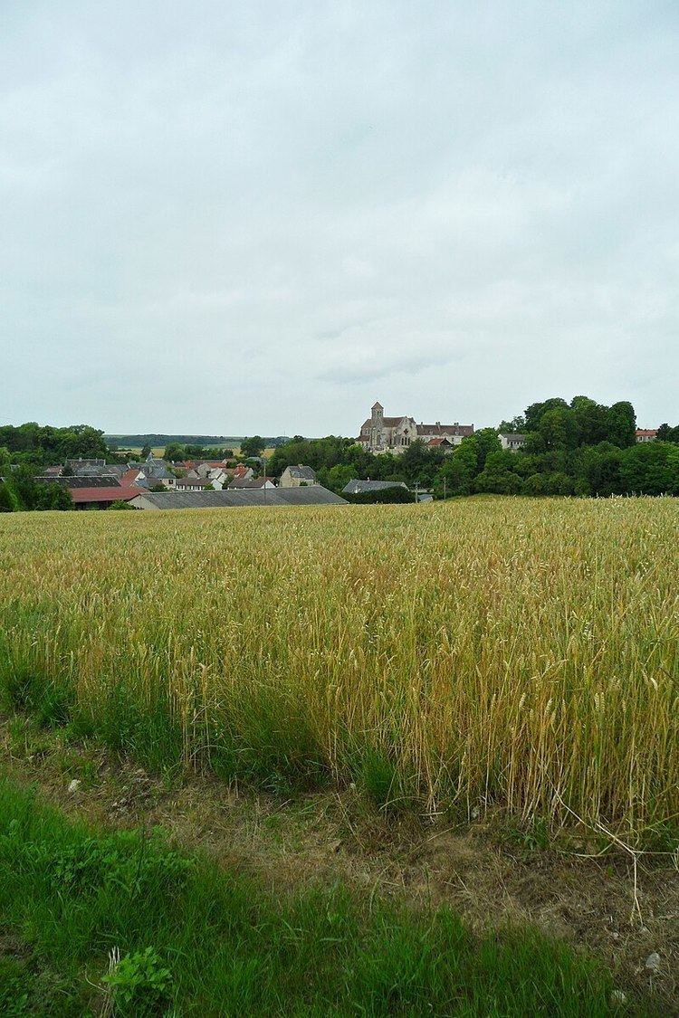
Oulchy-le-Château is a commune in the Aisne department in Hauts-de-France in northern France.
Contents
- Map of 02210 Oulchy le ChC3A2teau France
- Geography
- Towns villages and localities
- History
- Sights
- Personalities
- Economics and sports
- References
Map of 02210 Oulchy-le-Ch%C3%A2teau, France
Geography
The town is located about 106 km (66 mi) from Paris, between Soissons to the north and Château-Thierry to the south. It is directly accessible by highway.
Towns, villages and localities
History
On the night of 2/3 March 1814, the area was taken by imperial troops commanded by Captain Parquin. In 1976, the commune of Cugny-lès-Crouttes was absorbed.
Sights
Personalities
Economics and sports
The village contains a bakery, supermarket, butcher shops, pharmacy, doctor, nightclub, police, garage and gasoline. The town contains a football stadium and two tennis courts.
References
Oulchy-le-Château Wikipedia(Text) CC BY-SA